What are mapping UAVs used for?
Mapping UAVs are used for land survey, infrastructure documentation, construction monitoring, and 3D model creation. They help teams collect geospatial data with greater efficiency and consistency.
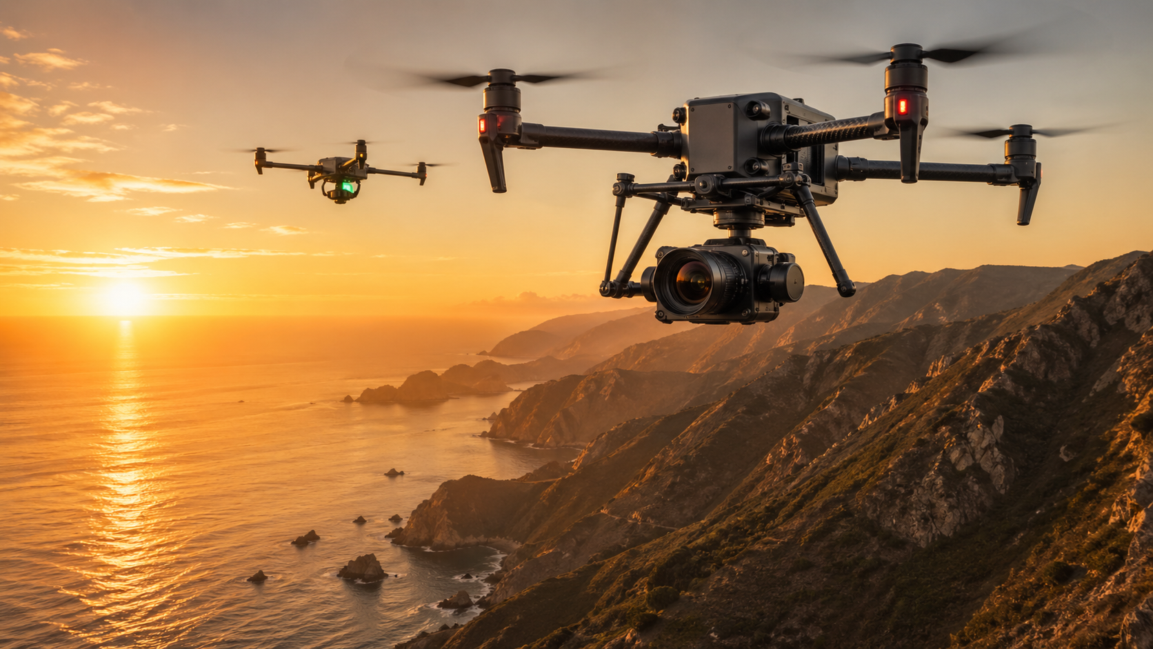
Capture survey-grade aerial data and cinematic footage with mission-ready UAV platforms for commercial teams.
Mapping and cinema UAVs support two demanding workflows: geospatial data capture and visual production. Survey teams need accurate, repeatable outputs; media teams need smooth, controlled footage that meets production standards.
Stroni mapping and cinema UAV platforms are built for dependable flight performance, payload flexibility, and mission-ready imaging across both technical and creative operations.
Professional aerial work depends on more than air time. Teams need consistent results, efficient field execution, and sensor performance aligned with mission goals.
For commercial users, the UAV is both a production tool and a data-acquisition system that must perform reliably in real conditions.
Both scenarios require stable flight, high-quality imaging, and repeatable mission performance.
For mapping tasks, precision and repeatability are critical. For cinema tasks, motion quality, framing control, and visual consistency are key.
Teams that need both can benefit from a flexible aerial platform that supports mixed mission profiles without changing the full operating model.
Choosing the right platform depends on whether your primary goal is mapping precision, cinematic output, or a balanced combination.
As projects expand, aerial imaging needs become more complex. Platforms may need to support larger coverage areas, multi-site deployment, and broader sensor requirements.
Stroni mapping and cinema UAVs are designed for scalable commercial use across surveying, documentation, and production workflows.
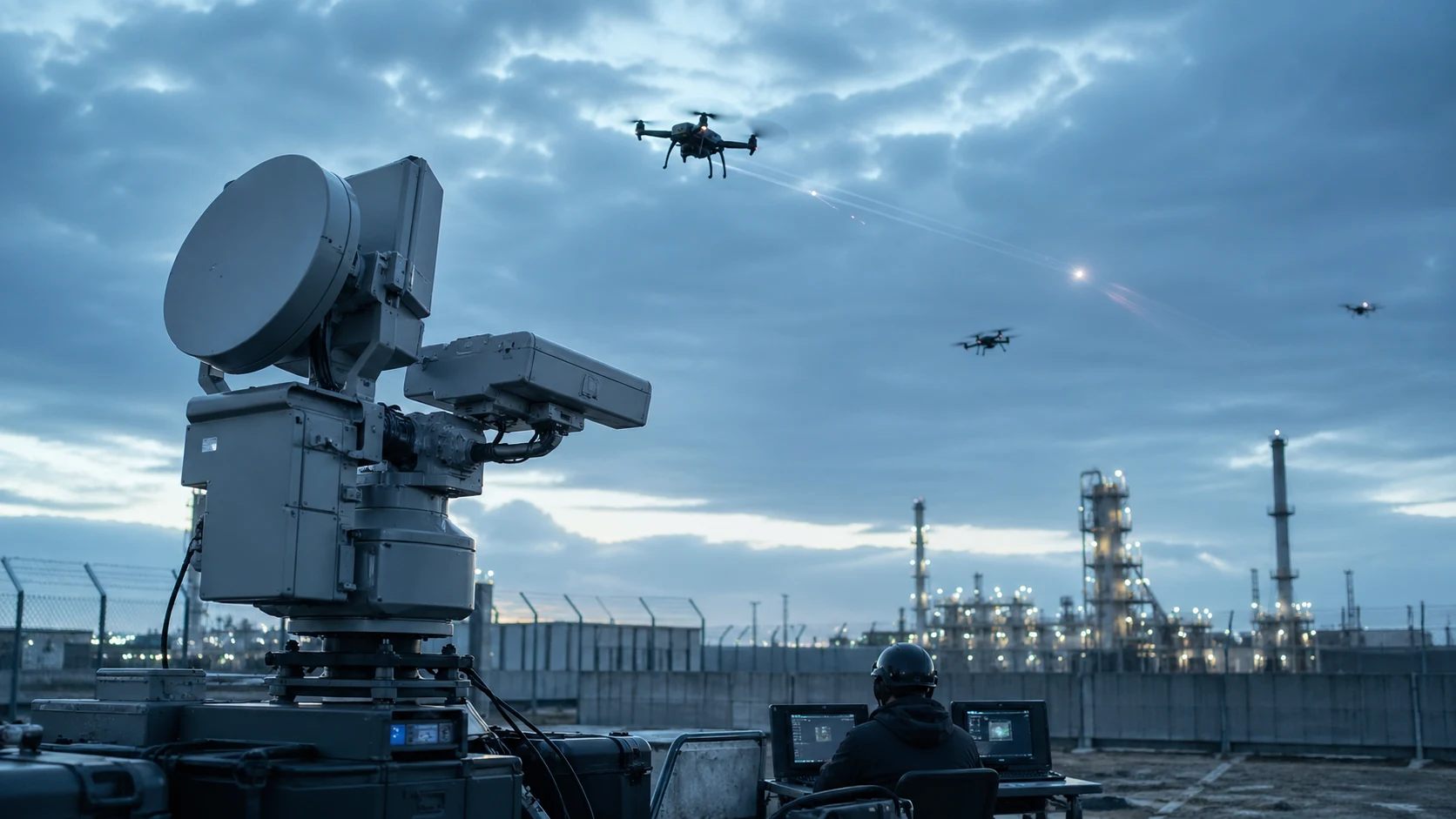
Operations should follow applicable local aviation, privacy, and data-governance regulations. Before deployment, teams should define operating boundaries, pilot authorization requirements, and data-handling standards.
Teams evaluating this category also review industrial inspection UAVs, agriculture UAV solutions, and heavy-lift cargo UAVs. You can browse all platforms on the product catalog or discuss mission requirements via the contact page.
Mapping UAVs are used for land survey, infrastructure documentation, construction monitoring, and 3D model creation. They help teams collect geospatial data with greater efficiency and consistency.
Cinema UAVs are used for commercial filming, real estate video, event coverage, and professional branded content production where smooth motion and controlled framing are required.
Yes. Some platforms can support both applications when they provide compatible payload options, stable flight control, and workflow flexibility for data capture and video production.
High-resolution cameras are standard, while some projects also require photogrammetry optimization or LiDAR payload support depending on required precision, terrain complexity, and output format.
Evaluate mission goals, payload compatibility, endurance, automation features, image quality, and integration with your downstream workflow. The best platform is the one that supports reliable, repeatable results.
We currently support FOB and CIF terms. Buyers are responsible for import clearance, local duties, and destination-country compliance requirements. Our team can provide required commercial and shipping documents for customs processing.