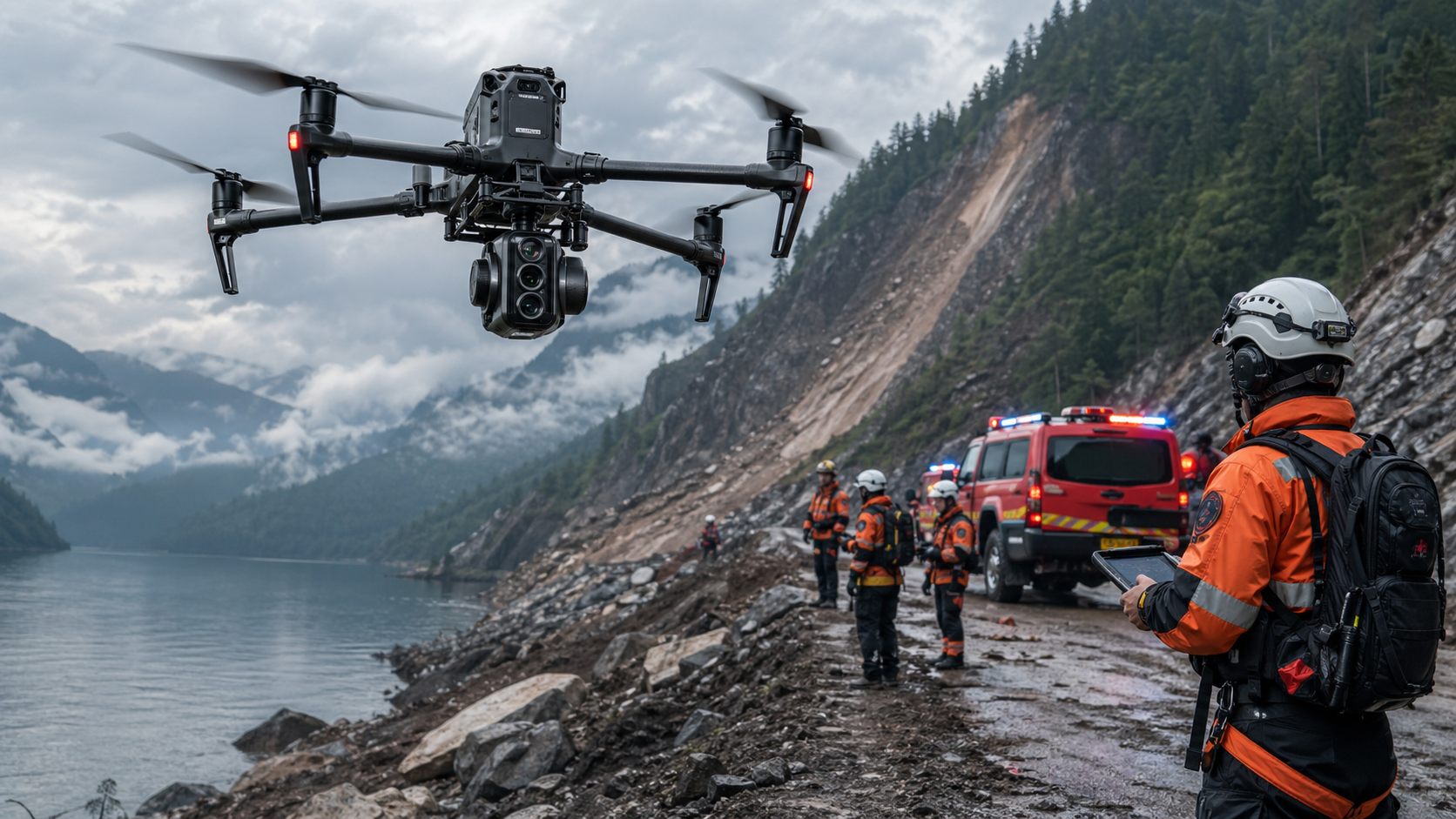
Public Safety & Rescue Solutions for Faster Emergency Response
Stroni helps public safety agencies and emergency teams improve response speed, increase situational awareness, and reduce responder exposure with UAV-based public safety workflows. From wildfire monitoring to search and rescue, our solutions are designed to support critical decision-making when every second matters.
Turning Aerial Intelligence Into Faster Emergency Decisions
In public safety operations, the biggest challenge is rarely the lack of equipment. The real challenge is getting the right information fast enough to make the right decision. During wildfire response, search and rescue, disaster recovery, or incident assessment, every minute matters, and every delay increases risk for both responders and the public.
That is why Stroni's Public Safety & Rescue Solutions are built around one core idea: help emergency teams see more, know more, and act sooner. By using UAV-based aerial intelligence, agencies can assess a scene before sending in ground personnel, reduce exposure to unnecessary danger, and improve the speed and quality of decision-making.
Why Public Safety Teams Need Aerial Intelligence
Emergency scenes are often unpredictable and hard to assess from the ground. Smoke, darkness, collapsed structures, dense vegetation, flooding, and wide search areas can make traditional response methods slow and incomplete. When visibility is limited, responders need a faster way to understand what is happening and where action is needed first.
Drone-based aerial intelligence fills that gap. With thermal imaging, live video transmission, and high-mobility aerial coverage, public safety teams can detect heat sources, identify search targets, monitor fire progression, and evaluate hazards in real time. This allows command teams to prioritize resources more effectively and reduce the chance of sending personnel into dangerous areas blindly.
Thermal Situational Awareness in Low-Visibility Environments
Thermal imaging is one of the most important capabilities in public safety operations because many critical missions take place in low-visibility conditions. Smoke, darkness, fog, rubble, and forest cover can easily block the view from the ground, but thermal sensors can still reveal heat signatures that are invisible to the naked eye.
In search and rescue operations, this can help locate missing persons faster, especially during nighttime missions or in difficult terrain. In wildfire response, thermal imaging helps crews identify hotspots, monitor fire spread, and detect potential flare-ups before they become larger threats. In incident assessment, it supports safer decision-making by showing where heat, danger, or abnormal activity may still be present.
Drone as First Responder
The Drone as First Responder model is changing how emergency teams work. Instead of waiting for ground crews to arrive before gaining situational awareness, a drone can be launched immediately to provide a live aerial view of the scene. That early access to visual intelligence can make a major difference in the first few minutes of an emergency.
With DFR-style deployment, command teams can review what is happening before personnel enter the scene. They can assess fire behavior, locate trapped individuals, identify blocked access points, and evaluate structural or environmental risks. This helps reduce response time, improve coordination, and support safer deployment decisions.
Search and Rescue Needs Speed, Range, and Precision
Search and rescue missions are often limited by time, terrain, and visibility. The larger the search area, the harder it becomes to rely on manual coverage alone. UAVs help teams scan more ground in less time and focus ground personnel on the areas most likely to produce results.
Thermal imaging and real-time aerial observation are especially useful when searching forests, mountains, flood zones, roadways, or disaster sites. Instead of guessing where to look next, responders can use live aerial data to narrow the search area and prioritize their effort. That makes the overall mission more efficient and increases the chances of a successful outcome.
Incident Assessment Before Entry
Many emergency scenes carry hidden risks that are not immediately visible from the ground. Fires can weaken structures, hazardous materials can spread beyond the obvious area, and accidents can create unstable or dangerous conditions around the scene. Before people enter, responders need a clear understanding of what they are walking into.
A drone can provide that first look. From above, teams can identify access routes, blocked zones, hot areas, crowds, vehicles, debris, and other hazards that may not be obvious from street level. This gives incident commanders a clearer picture and allows them to plan a safer and more effective response.
Why Public Safety Teams Trust Stroni
Stroni designs public safety UAV solutions around real operational needs, not just technical features. Public safety customers care about reliable deployment, fast situational awareness, and workflows that fit into existing emergency response operations. Our platforms are built to support that reality with thermal imaging, mission-specific payload integration, and command center-friendly data workflows.
We focus on solutions that help responders act earlier, see more clearly, and reduce unnecessary exposure to danger. Whether the mission is wildfire monitoring, search and rescue, or incident assessment, our systems are designed to help teams make faster decisions with better information.
For agencies that operate across multiple incident types, flexibility matters just as much as performance. Our public safety solutions are built to support repeated deployment, different mission profiles, and real-world emergency conditions without adding unnecessary complexity to the workflow.
Frequently Asked Questions
Can your drones support search and rescue and wildfire monitoring?
+
Yes. Our public safety drone solutions are designed for search and rescue, wildfire monitoring, and incident response workflows. Thermal imaging and live aerial intelligence help teams locate heat sources, monitor fire spread, and narrow search areas more effectively in difficult conditions.
Can the system be used in a Drone as First Responder workflow?
+
Yes. Our solution supports Drone as First Responder-style deployment, where the drone can provide rapid aerial intelligence before ground teams arrive. This helps improve situational awareness, reduce response delays, and support safer deployment decisions in high-risk incidents.
Can your solution help with incident scene assessment before entry?
+
Yes. Drones can provide a first look at fire scenes, traffic accidents, collapsed structures, and other hazardous environments before responders enter. This allows command teams to identify access routes, hot zones, blocked areas, and other risks in advance, improving safety and response planning.
What are your international shipping terms for public safety agencies?
+
We provide FOB and CIF terms for international enterprise orders. The purchasing agency is responsible for destination customs clearance, import duties, and compliance with local aviation and public safety regulations.
Continue Exploring
Continue Exploring
Keep the momentum going with a few related reads selected to extend this topic into strategy, deployment, and practical field use.
Featured Read
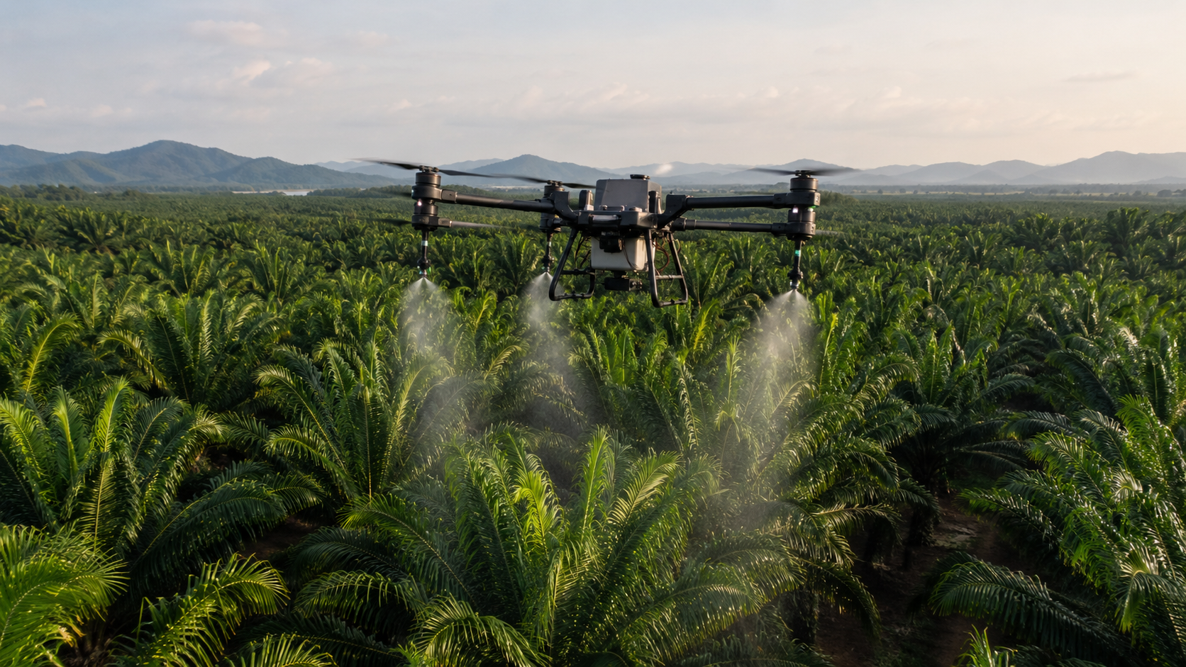
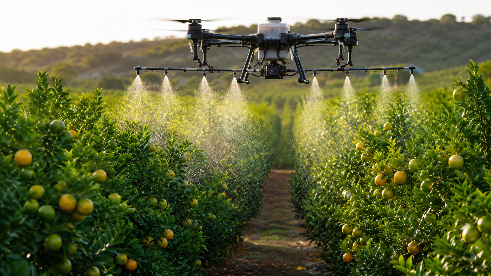
How Much Does an Agricultural Spraying Drone Cost in 2026? Complete Price Guide
Agriculture Drones · Jul 3, 2026
Recommended
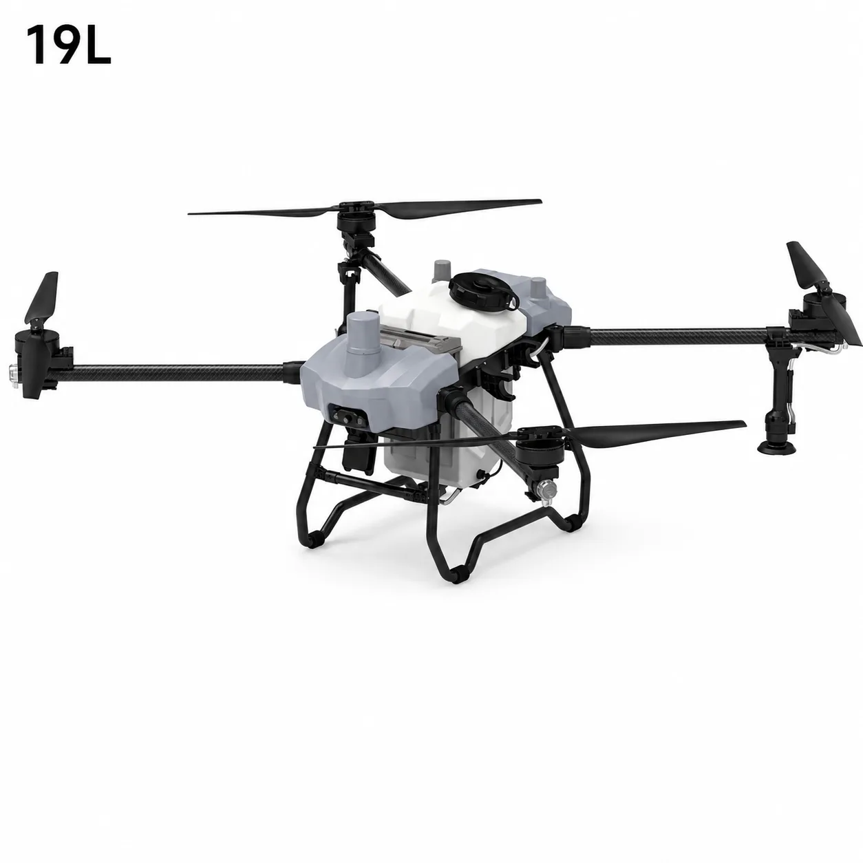
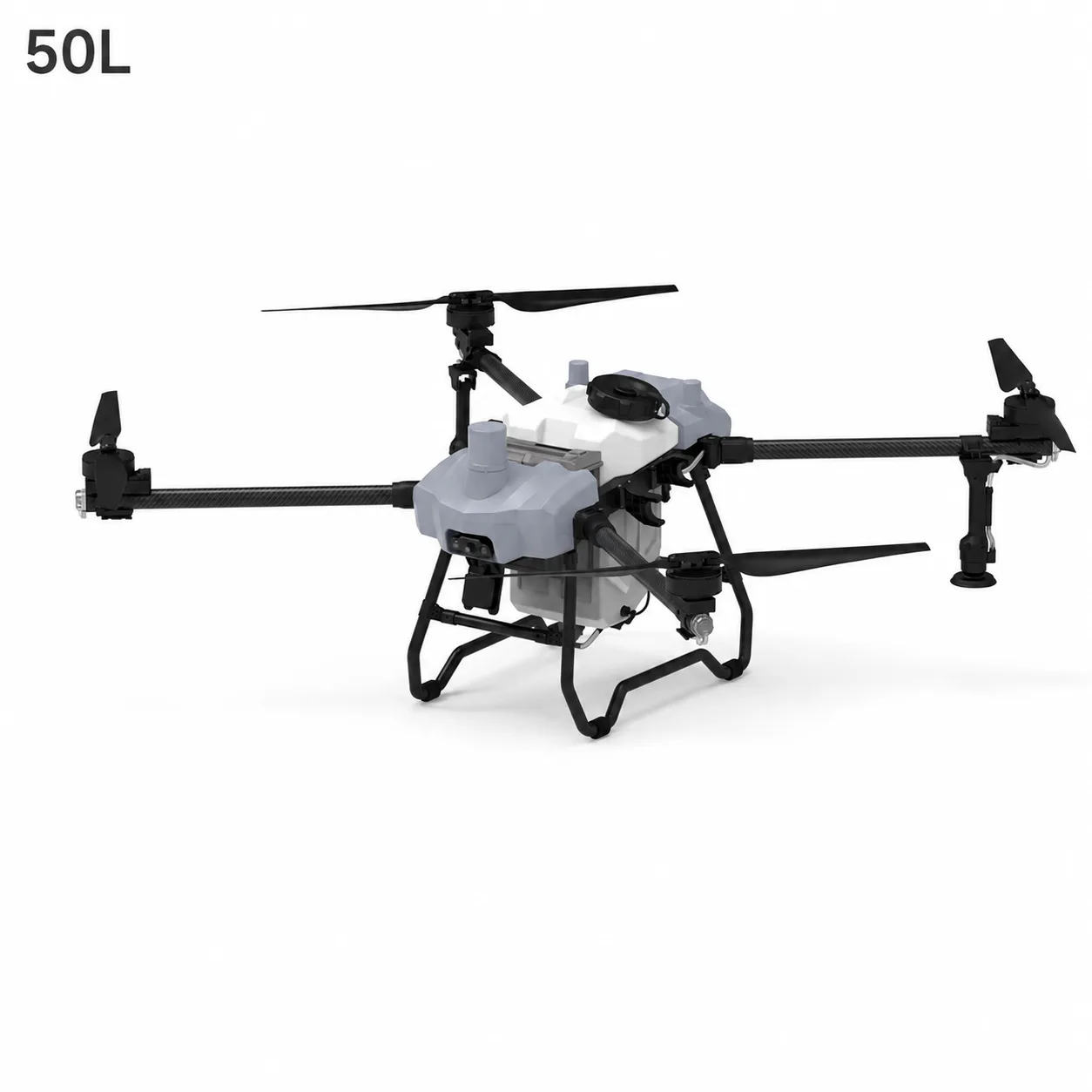
19L vs 50L vs 100L Agriculture Spraying Drone: How to Choose the Right Model
Agriculture · Jun 30, 2026
Recommended
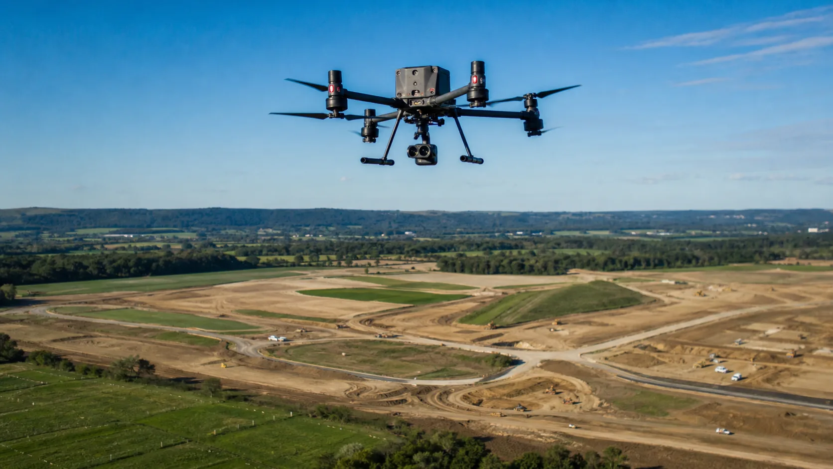
How UAVs Reduce Time and Cost in Land Mapping Projects
Mapping & Surveying · May 8, 2026
Recommended
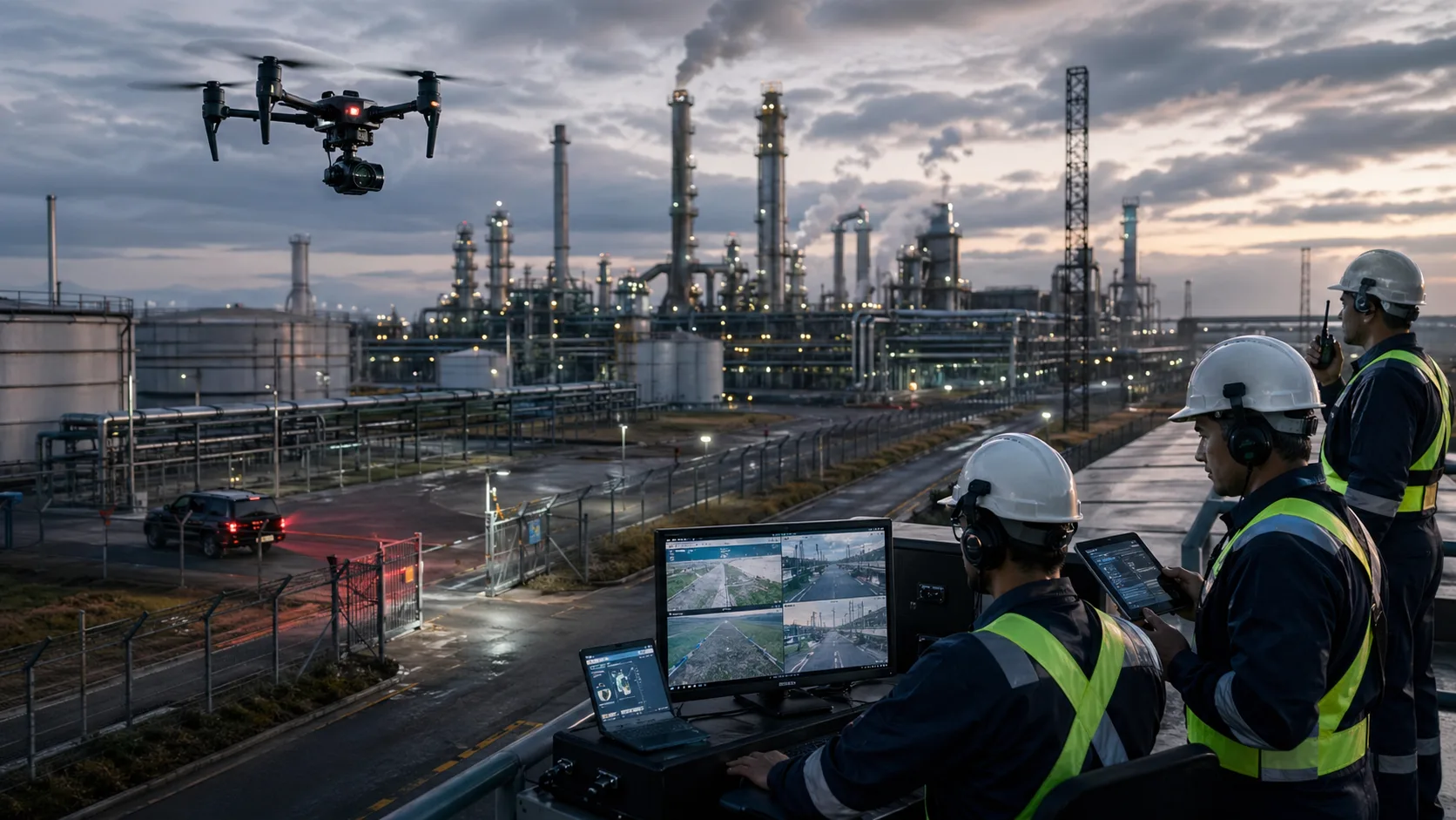
Why Security Teams Are Adding Drones to Industrial Monitoring Workflows
Industrial Security · May 4, 2026
Recommended
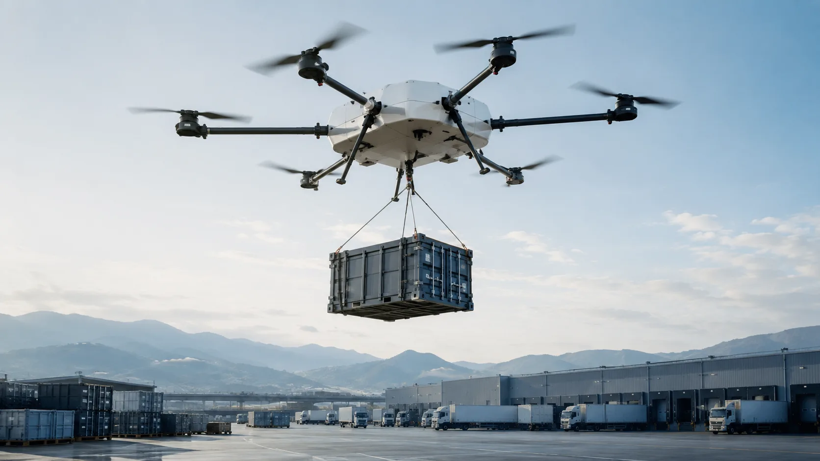
What Businesses Should Know Before Choosing a Heavy-Lift Cargo UAV
Industrial Logistics · Apr 29, 2026
Ready to transform your operations?
Connect with our UAV solution team to design an implementation path for your business.