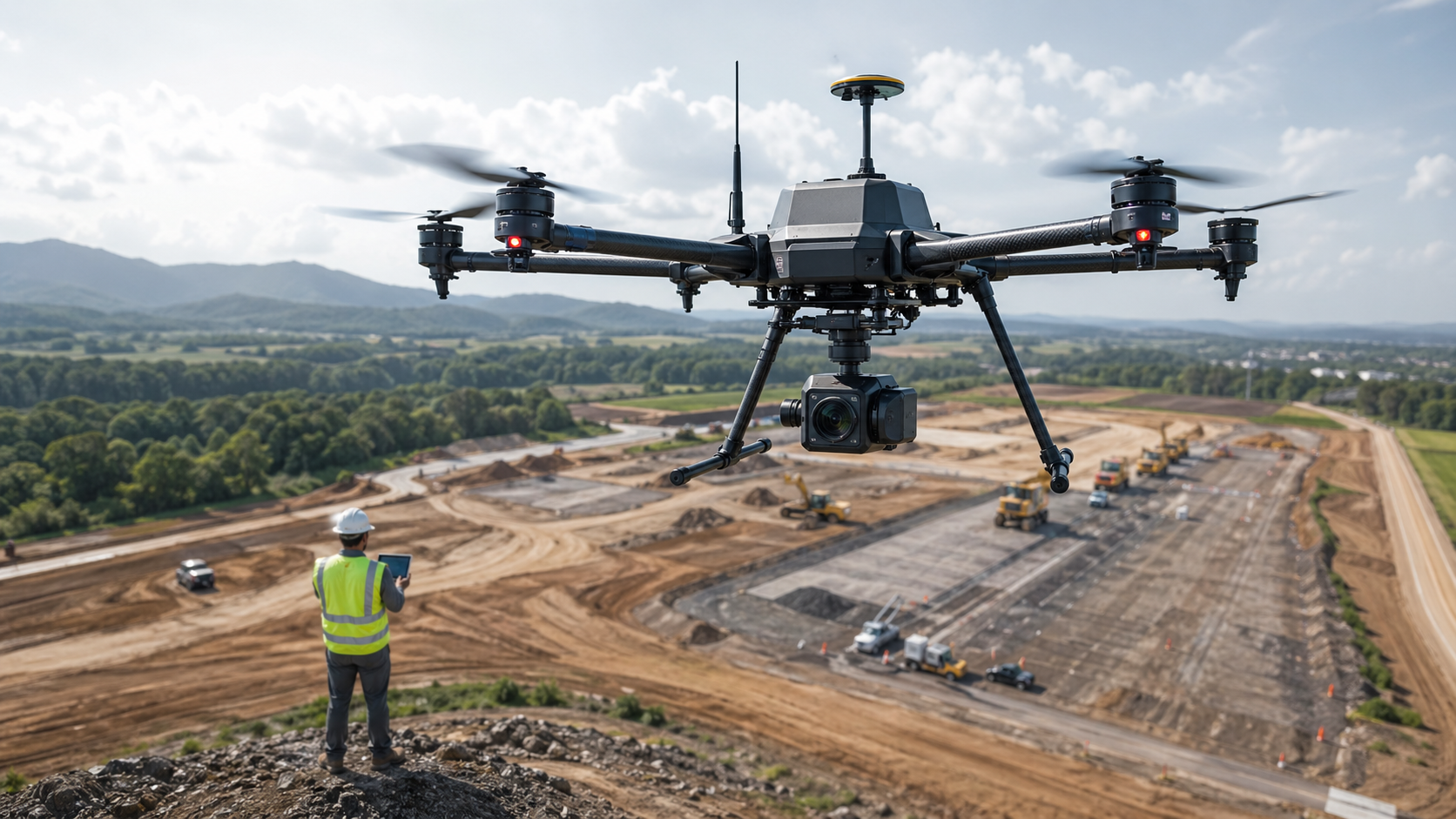
Surveying & Mapping Solutions for Accurate Spatial Data
Stroni helps surveying, engineering, and construction teams capture accurate aerial data, generate reliable maps and 3D models, and improve project planning with UAV-based surveying workflows. From LiDAR mapping to photogrammetry, our solutions are designed for teams that need faster data collection, better spatial accuracy, and more efficient field operations.
Turning Aerial Data Into Better Project Decisions
Surveying and mapping are no longer limited to slow manual workflows and time-consuming field measurements. Today, UAV-based surveying solutions allow teams to collect spatial data faster, cover larger areas more efficiently, and build a clearer picture of terrain, structures, and project sites. For engineering, construction, land development, and infrastructure teams, that means better decisions with less time spent in the field.
Stroni's Surveying & Mapping Solutions are designed to help teams capture high-quality aerial data that can be used for mapping, modeling, planning, and progress tracking. Whether the goal is to create a georeferenced map, document site conditions, or support project design, our solutions are built to make spatial data collection more efficient, more repeatable, and more useful in real workflows.
Why Surveying Teams Need UAV Workflows
Traditional surveying methods remain important, but they can be labor-intensive, slow to scale, and difficult to use on large or complex sites. Field crews often need to walk long distances, work around terrain constraints, or repeatedly return to the same location to verify changes. That creates delays, increases labor cost, and can make it harder to keep project data current.
UAV workflows help solve those problems by collecting spatial data from the air in a fraction of the time. The real advantage is not just speed, but consistency. A drone can fly the same mission path multiple times, which makes it much easier to compare conditions over time, track site progress, and maintain a reliable record of how a project is changing. For teams that need both accuracy and efficiency, that repeatability is a major advantage.
LiDAR Mapping for Complex Environments
LiDAR mapping is one of the most valuable tools in modern surveying because it captures detailed spatial information even in complex environments. It is especially useful when terrain is uneven, vegetation is dense, or the site requires accurate elevation and surface data. In cases where visual imagery alone is not enough, LiDAR adds the depth and precision needed for engineering-grade analysis.
Our UAV platforms are designed to support LiDAR mapping workflows that help teams measure terrain, understand structural relationships, and generate data for site planning and documentation. This matters because many survey tasks are not just about seeing the site from above — they are about understanding its shape, slope, height differences, and spatial relationships with enough precision to support real decisions.
Photogrammetry and 3D Model Generation
Photogrammetry remains one of the most widely used methods in aerial mapping because it allows teams to turn overlapping images into accurate maps and 3D models. When combined with a stable UAV platform and proper mission planning, photogrammetry can deliver highly useful spatial outputs for construction, land planning, and asset documentation.
Our surveying and mapping solutions support photogrammetry workflows that help teams create georeferenced aerial data, orthomosaics, surface models, and 3D reconstructions. These outputs are especially valuable when project teams need to visualize site conditions, communicate progress, or compare current conditions against previous surveys. The benefit is not just visual clarity — it is better alignment between field data and planning decisions.
Georeferenced Aerial Data for Better Planning
Good mapping is not just about taking pictures from above. It is about generating data that can be trusted, referenced, and used in practical workflows. Georeferenced aerial data allows teams to overlay drone outputs with other project information, making it easier to compare current site conditions with design plans, progress reports, or prior survey data.
This is particularly important for construction and infrastructure projects, where site conditions can change quickly and decisions must be based on current information. UAV-based georeferenced mapping helps teams work with better context, reduce rework, and improve communication between field crews, engineers, and project managers. When everyone is working from the same spatial reference, the project moves more smoothly.
Surveying & Mapping Solutions Across Key Industries
Construction Site Mapping
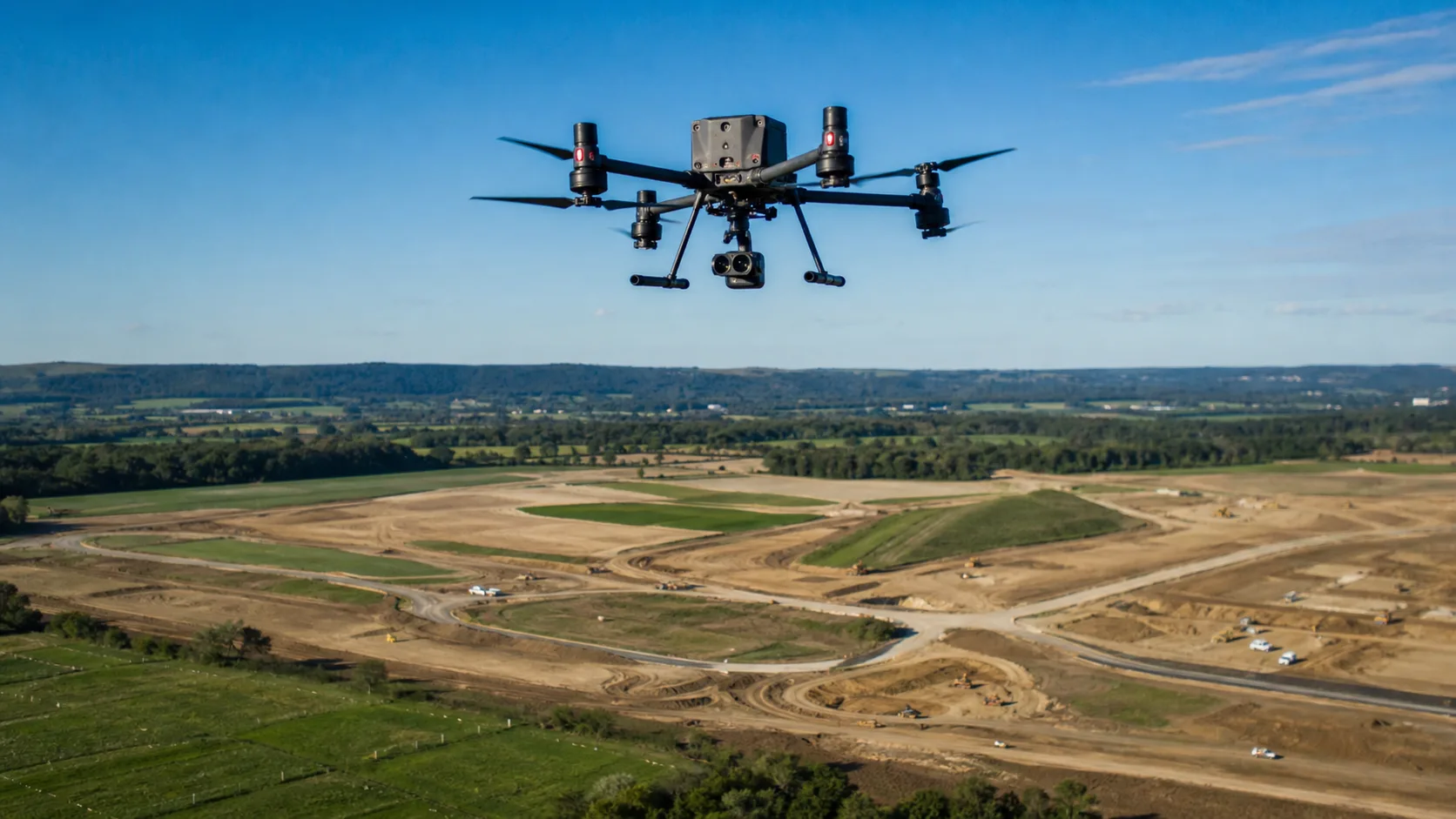
Construction teams need accurate and up-to-date site data to support planning, progress tracking, and coordination. UAV-based construction mapping helps teams capture site conditions quickly and generate outputs that can be used to compare progress over time, verify site changes, and improve communication between field and office teams.
Land Surveying
Land surveying projects often require detailed terrain understanding, boundary awareness, and reliable spatial data. Drones can help reduce field time while providing maps and models that support more efficient land analysis, documentation, and project planning.
LiDAR Mapping for Vegetated or Complex Terrain
When sites are covered by vegetation or contain irregular terrain, LiDAR mapping becomes especially valuable. UAV-based LiDAR workflows can help teams capture elevation data and surface detail even in environments that are difficult to survey with visual methods alone.
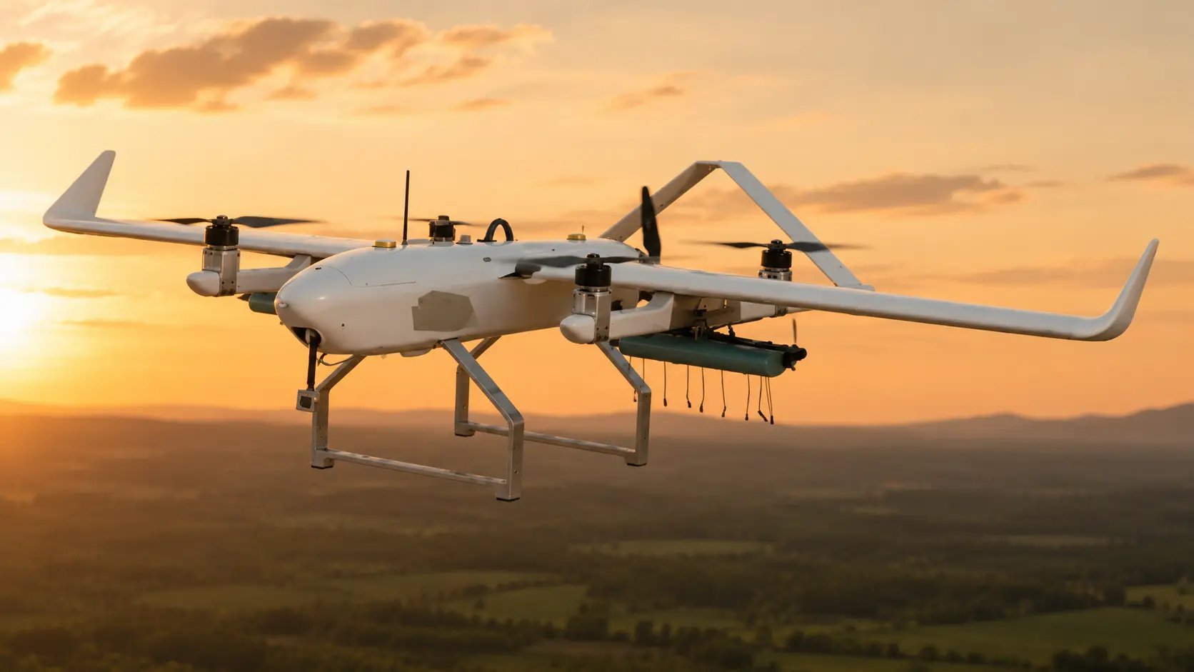
Infrastructure and Corridor Mapping
Linear infrastructure such as roads, railways, pipelines, and utility corridors often spans large distances and changing terrain. UAV mapping helps teams capture corridor data more efficiently and document site conditions with greater consistency across the full project area.
Why Surveying Teams Trust Stroni
Stroni designs surveying and mapping UAV solutions with the realities of professional fieldwork in mind. Surveying teams need data that is accurate, repeatable, and usable in planning workflows, not just visually impressive outputs. That is why our platforms are built to support LiDAR mapping, photogrammetry, and georeferenced aerial data capture with a strong focus on consistency and reliability.
We understand that mapping projects vary by site, scale, and complexity. Our solutions are designed to help teams work faster in the field, reduce manual effort, and produce results that support real project decisions. Whether the job is construction mapping, land surveying, or infrastructure documentation, we focus on practical outcomes that matter to professionals.
Frequently Asked Questions
Can your drones support LiDAR mapping and photogrammetry?
+
Yes. Our surveying and mapping solutions are designed to support both LiDAR mapping and photogrammetry workflows. This allows teams to generate detailed spatial data, 3D models, and georeferenced outputs for planning and analysis.
Can the system be used for repeated site surveys?
+
Yes. Our UAV workflows are built for repeatable missions, which makes it easier to compare site conditions over time and track project changes consistently. This is especially useful for construction, infrastructure, and land management projects.
Can your solution help reduce field time?
+
Yes. UAV-based surveying can significantly reduce the amount of time teams spend on the ground by collecting spatial data from the air more efficiently. This helps improve productivity while maintaining strong data quality.
What are your international shipping terms for surveying equipment?
+
We provide FOB and CIF terms for international enterprise orders. The purchasing company is responsible for destination customs clearance, import duties, and compliance with local aviation and surveying regulations.
Continue Exploring
Continue Exploring
Keep the momentum going with a few related reads selected to extend this topic into strategy, deployment, and practical field use.
Featured Read
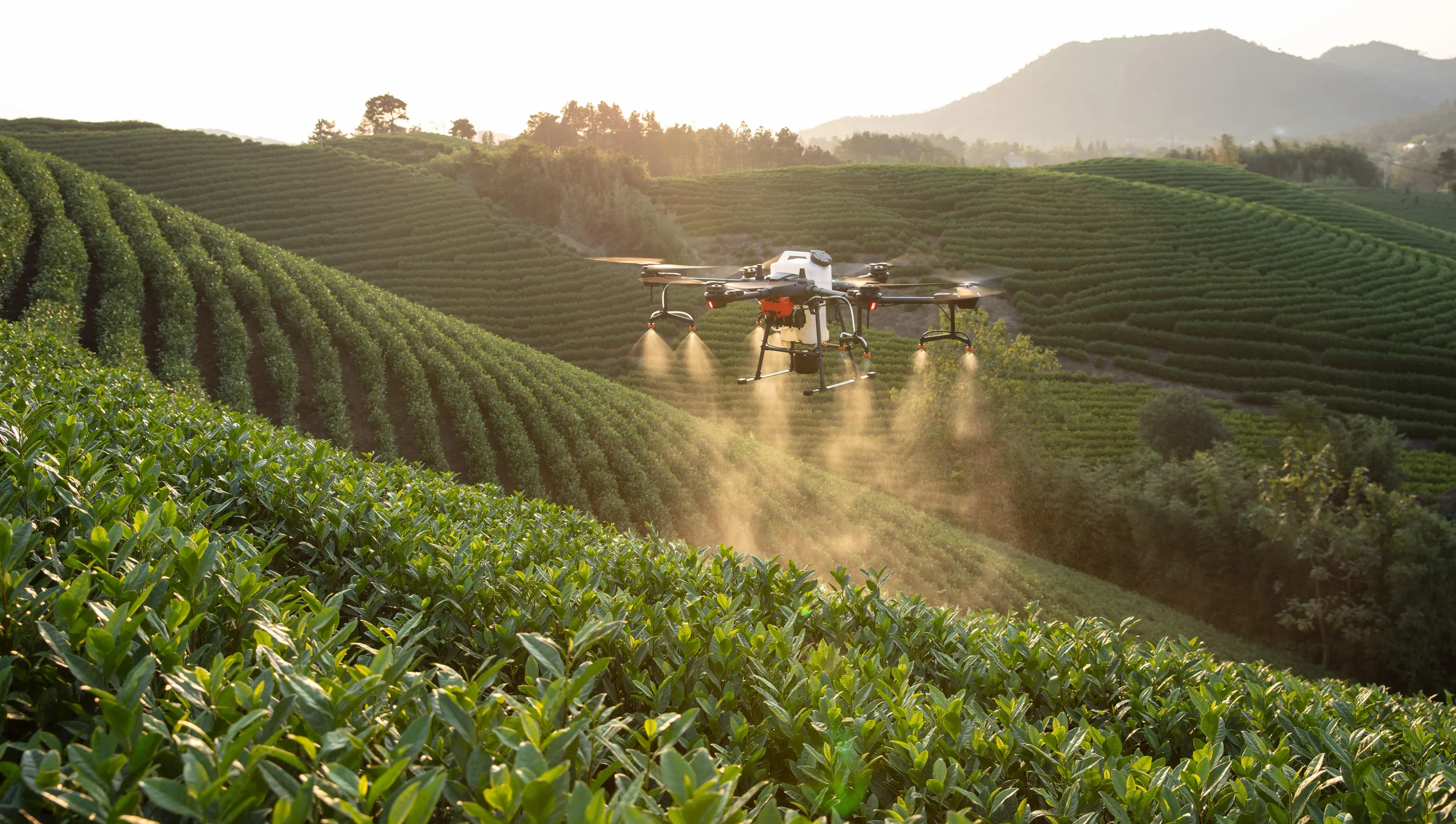
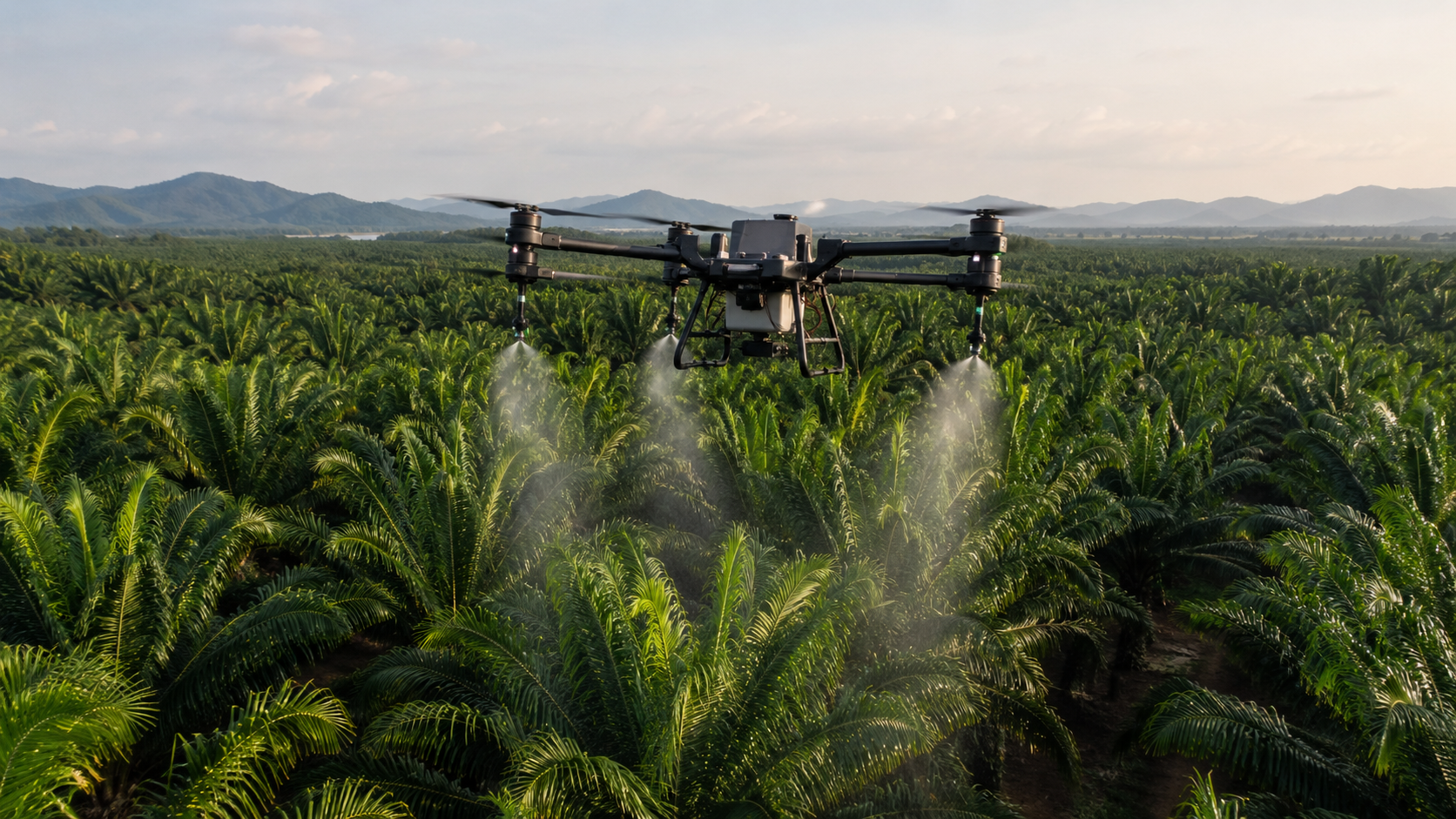
How Much Does an Agricultural Spraying Drone Cost in 2026? Complete Price Guide
Agriculture Drones · Jul 3, 2026
Recommended
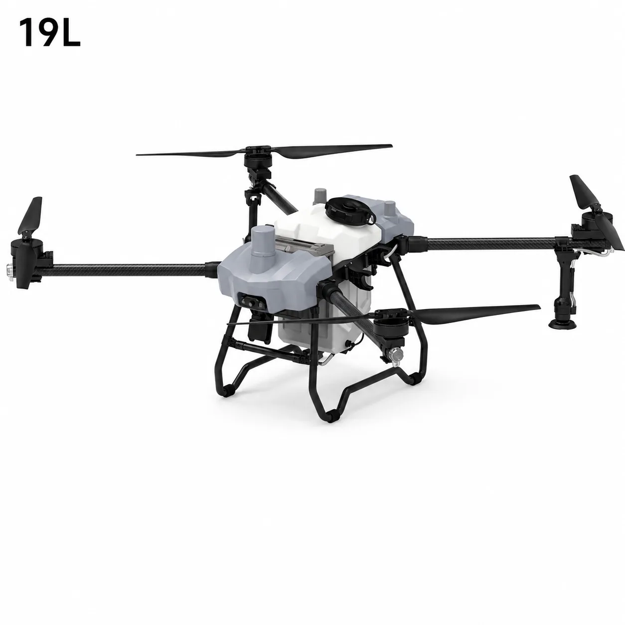
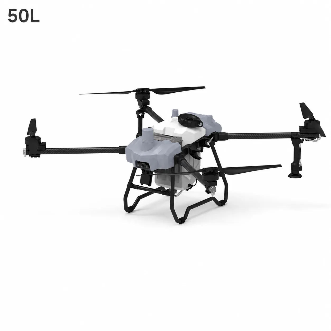
19L vs 50L vs 100L Agriculture Spraying Drone: How to Choose the Right Model
Agriculture · Jun 30, 2026
Recommended
How UAVs Reduce Time and Cost in Land Mapping Projects
Mapping & Surveying · May 8, 2026
Recommended
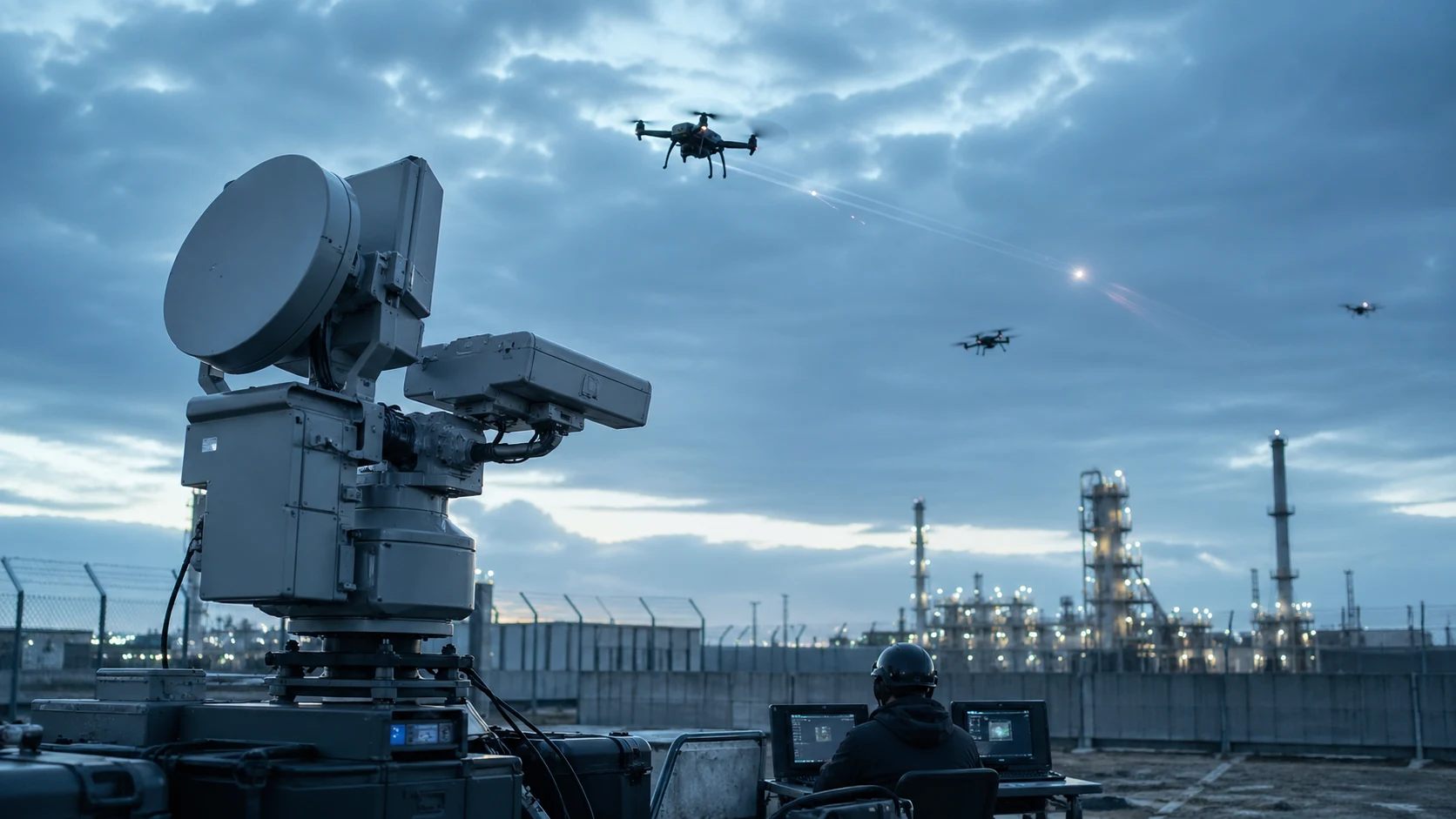
Why Security Teams Are Adding Drones to Industrial Monitoring Workflows
Industrial Security · May 4, 2026

Recommended
What Businesses Should Know Before Choosing a Heavy-Lift Cargo UAV
Industrial Logistics · Apr 29, 2026

Ready to transform your operations?
Connect with our UAV solution team to design an implementation path for your business.