Featured
Mapping & Surveying
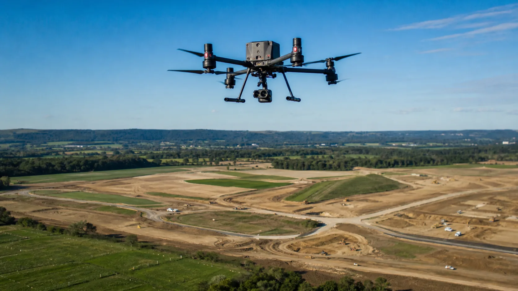
How UAVs Reduce Time and Cost in Land Mapping Projects
Learn how UAV land mapping reduces capture time, lowers survey cost, improves access in difficult terrain, and supports better planning decisions.
Read Full Article

Filter by Topic
Filter articles by topic to focus on the most relevant UAV insights for your team.
Talk with Stroni about platform selection, payload integration, deployment planning, and enterprise UAV requirements for real-world operations.
Enterprise UAV Support
Move from research to procurement with guidance on mission fit, configuration planning, and commercial next steps.