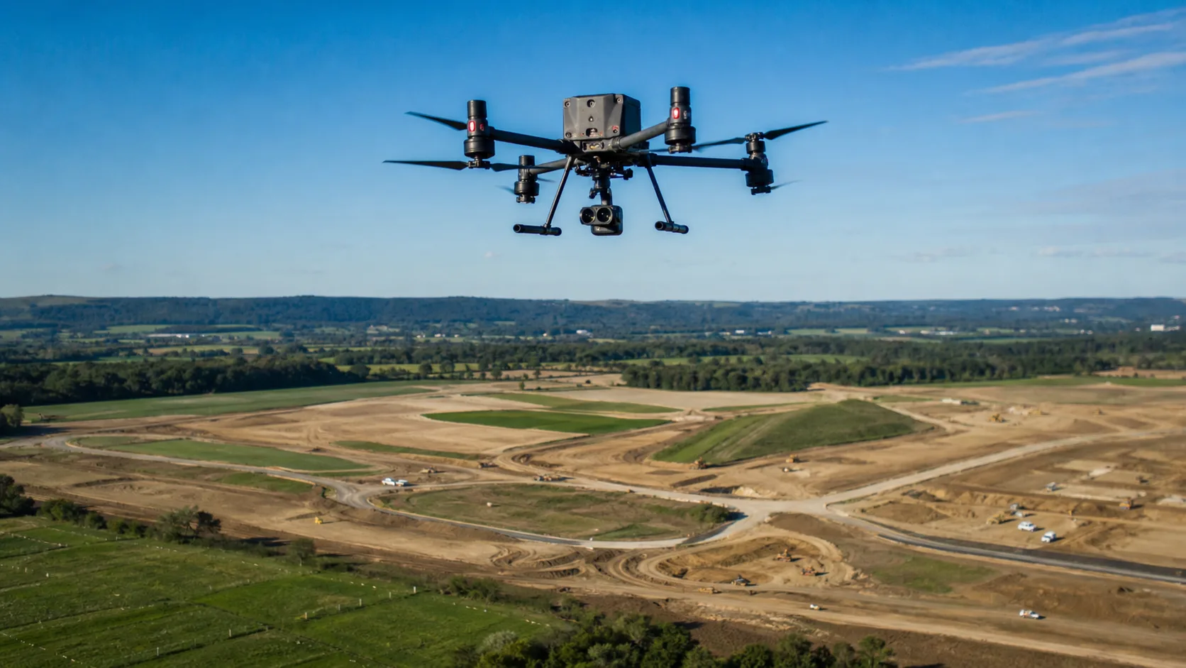
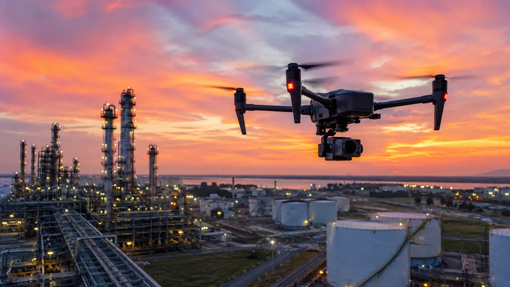
Land mapping has always been essential for construction, agriculture, infrastructure planning, mining, and environmental management. But traditional surveying methods can be slow, labor-intensive, and expensive, especially when the site is large, remote, or difficult to access. That is why more organizations are turning to UAVs as a practical way to collect accurate land data faster and at lower cost.
The main advantage of UAV-based mapping is simple: it reduces the amount of time and manpower needed to capture usable site information. Instead of spending days or weeks on manual ground surveys, teams can use drones to cover large areas in a fraction of the time. That shorter turnaround does not just save labor. It also helps decision-makers move forward sooner with planning, design, and project execution.
Why traditional land mapping takes so long
Traditional land mapping often requires crews to physically enter the site, take measurements, record observations, and process the data afterward. In open or simple terrain, that may be manageable. In larger projects, however, the process becomes much more demanding. Surveyors may need to navigate uneven ground, restricted access zones, or locations that require extensive setup before measurements can begin.
This creates delays at several stages. First, there is the time needed to reach and prepare the site. Then there is the time spent collecting data from multiple points on the ground. Finally, there is the processing stage, where the information must be organized into useful maps, models, or reports. If the site is complex or changes frequently, teams may need to repeat the process more than once.
UAVs help reduce all of that friction by capturing aerial data quickly and efficiently. Instead of measuring every point manually, teams can gather a broad visual and spatial record of the entire site from above.
How UAVs speed up data collection
One of the biggest benefits of UAVs in land mapping is speed. A drone can cover a large area in a short period of time, often far faster than a ground team working on foot or with traditional equipment. That means survey and mapping crews can complete the capture phase much sooner, which shortens the overall project timeline.
This speed matters for more than convenience. In commercial projects, timing often affects the entire downstream workflow. If construction planning is waiting on site data, delays in mapping can delay design, scheduling, and budgeting. If a farm operation needs current field information, slow mapping can affect crop decisions. If an industrial site needs accurate terrain data, waiting too long may increase project risk.
By using UAVs, teams can collect up-to-date site information faster and keep the project moving.
Why UAV mapping lowers labor costs
Labor is one of the biggest cost drivers in land mapping. Traditional surveying often requires multiple people, more time on site, and more field preparation. In contrast, a UAV mapping workflow can often be handled by a smaller team, depending on the mission and the required output.
That does not mean skilled operators are unnecessary. It means the team can spend less time on repetitive fieldwork and more time on data analysis and project decision-making. In many cases, that shift improves productivity because fewer personnel are required to cover the same area.
There is also a safety benefit. When teams do not need to manually access every part of a site, they reduce exposure to difficult terrain, traffic, unstable ground, or other hazards. That can lower operational risk and reduce the hidden cost of fieldwork.
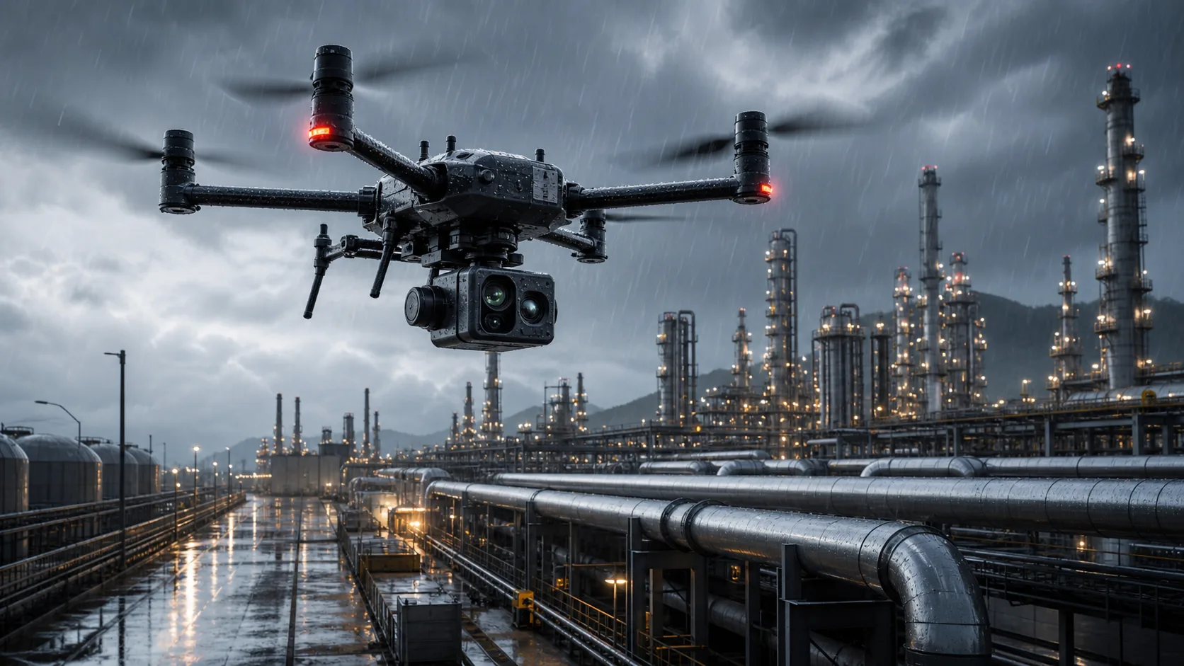
UAVs help cover difficult terrain more efficiently
Some land mapping projects are expensive not because of the size of the site, but because of the difficulty of the terrain. Hills, water, dense vegetation, construction debris, and inaccessible boundaries can all make conventional surveying slower and more complicated.
UAVs are especially useful in these situations because they can capture aerial information without requiring direct physical access to every section of the site. This makes it easier to map large or awkward areas consistently. It also helps teams reduce the number of return visits caused by missed points, inaccessible zones, or incomplete coverage.
For projects where ground access is limited, UAVs can significantly improve both efficiency and completeness.
Better data can also reduce rework
Land mapping is not only about collecting data. It is about collecting the right data in a form that can be used effectively. If the site information is incomplete, inconsistent, or outdated, the project may need to be repeated. That means more labor, more cost, and more delay.
UAVs help reduce rework by creating a more complete visual and spatial record of the site during the initial survey phase. When used properly, they can produce detailed images and mapping outputs that support planning, measurement, and comparison over time. This is especially valuable in projects where the site changes frequently or where teams need regular updates.
The fewer gaps there are in the initial dataset, the less likely the team is to spend time going back to fix avoidable problems.
UAVs improve project planning and decision-making
A major benefit of UAV land mapping is that it gives project teams better information earlier. When site data is available quickly, planners can make decisions sooner and with more confidence. That improves coordination across construction, engineering, agriculture, mining, and other industries that rely on accurate land information.
Early visibility can help with:
- site layout planning,
- volume estimation,
- boundary review,
- progress tracking,
- and identifying site constraints before work begins.
That kind of early insight can reduce costly surprises later in the project. In many cases, the money saved comes not just from the mapping process itself, but from the better decisions the data supports.
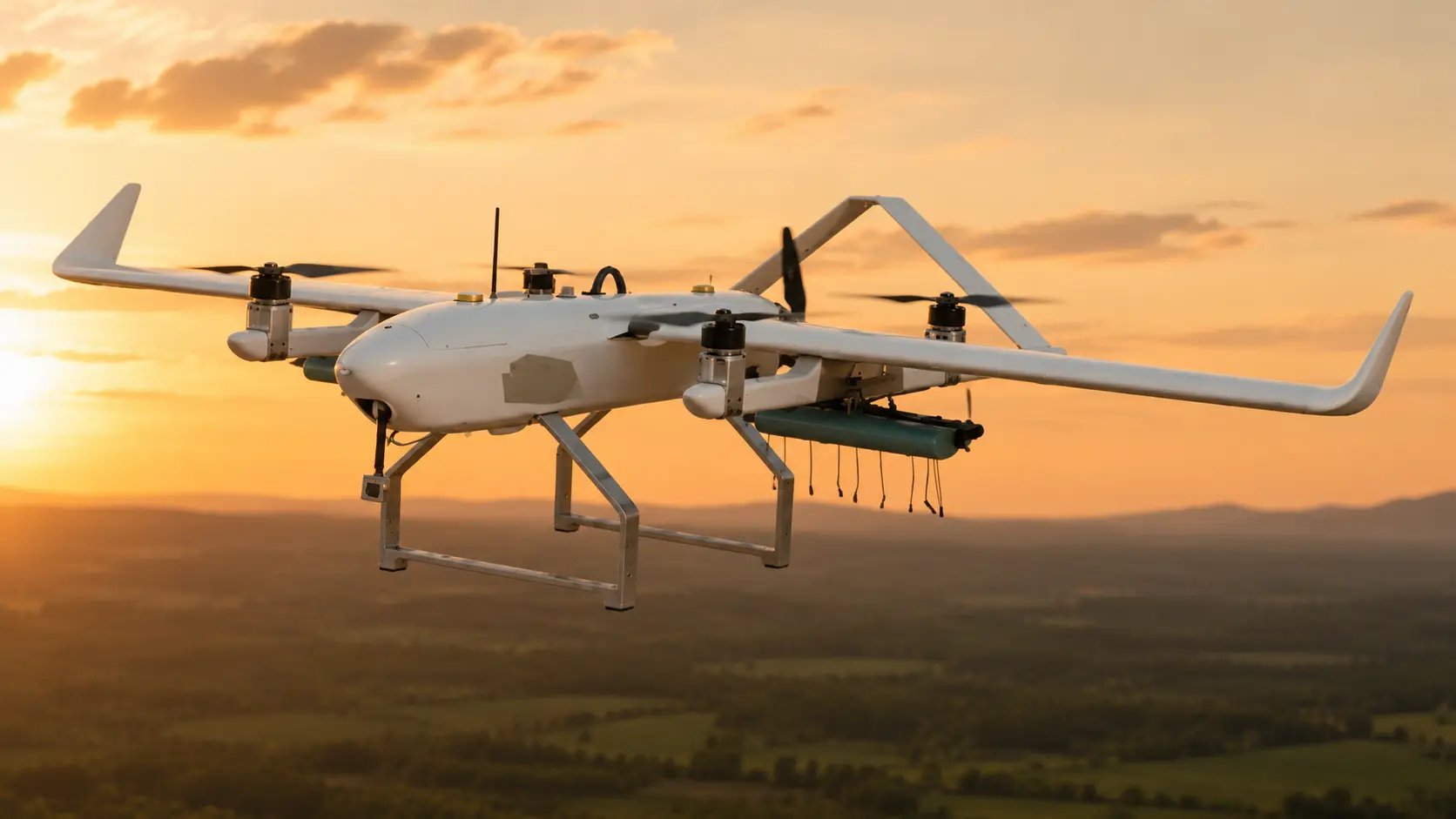
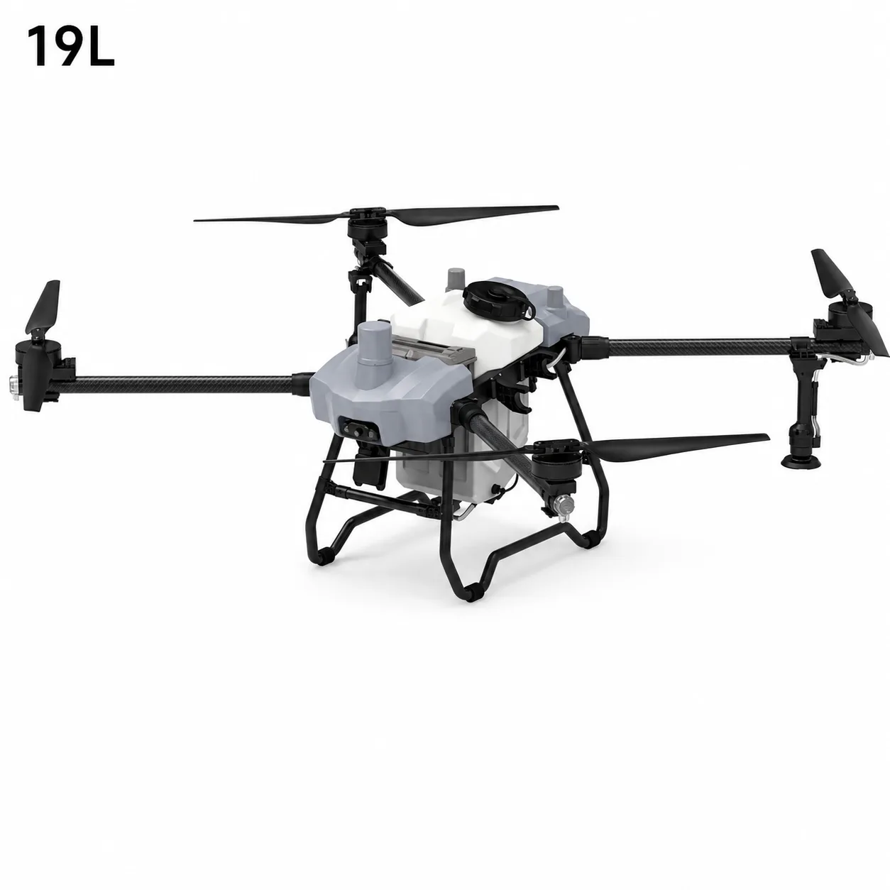
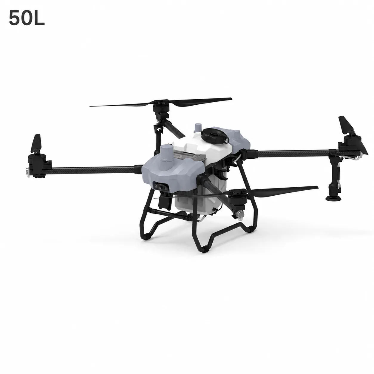
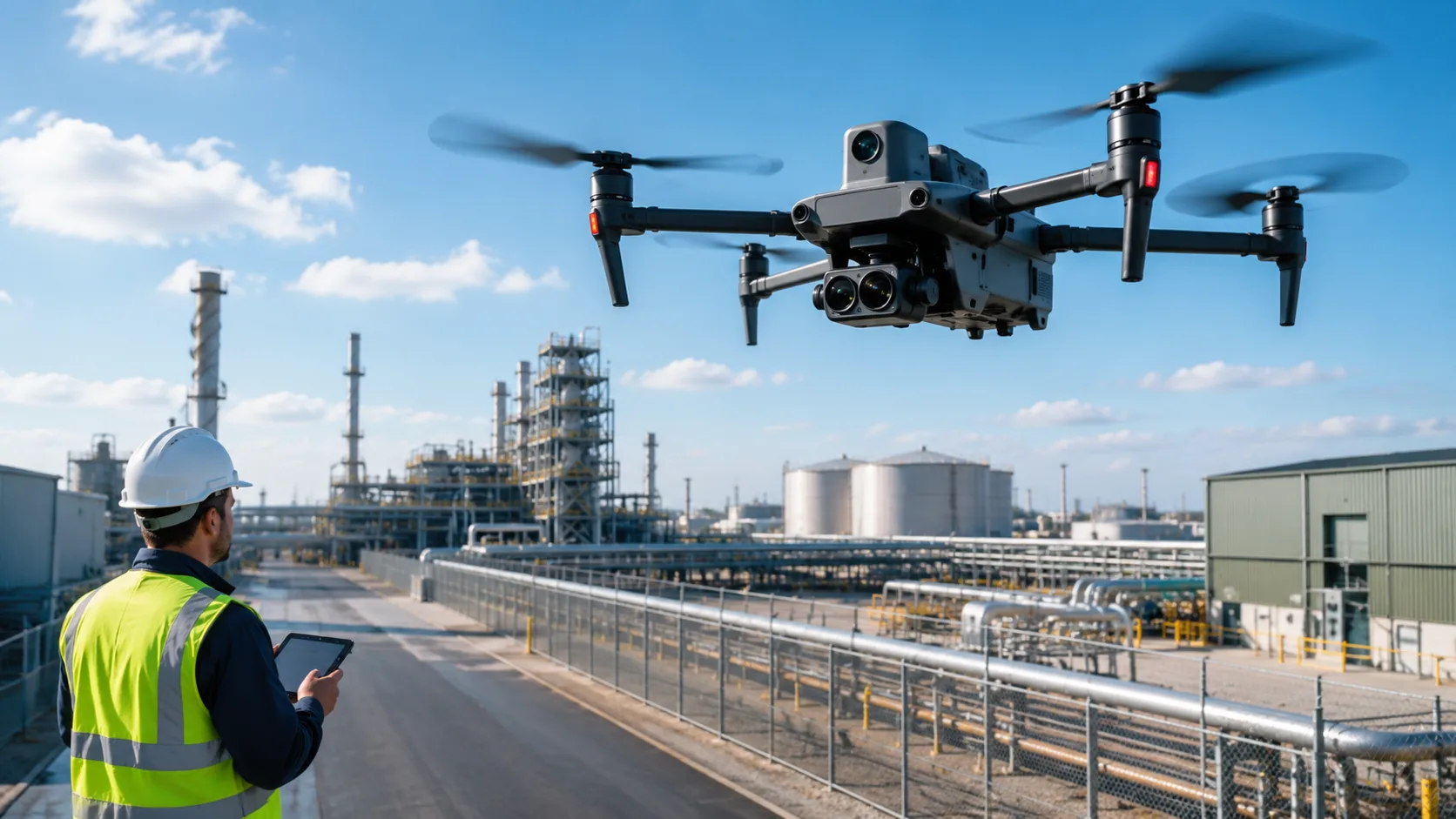
What businesses should look for in a mapping UAV
Not every UAV is suitable for professional mapping. Businesses should look for a platform that combines reliable flight performance with the right imaging and workflow capabilities.
Important factors include:
- stable flight and accurate positioning,
- high-quality imaging,
- sufficient flight time for the project area,
- reliable data capture,
- and compatibility with mapping workflows.
The right drone should also be practical for real field use. If a platform is difficult to deploy, hard to manage, or inconsistent in changing conditions, it will reduce the efficiency gains that UAV mapping is supposed to create. The best solution is one that fits into the team’s actual workflow and helps them collect usable data with less effort.
For organizations evaluating platforms, modern mapping and cinema UAVs can provide a practical baseline for mission planning and capability matching.
Why the cost savings are real
The cost savings from UAV land mapping come from several places, not just one. First, the drone reduces field labor. Second, it shortens the time needed to collect site data. Third, it can improve the quality of the initial dataset, which reduces the chance of rework. Fourth, it helps teams make decisions faster, which can reduce delays across the broader project.
When businesses look at the full picture, the value becomes clear. A UAV may not eliminate all mapping work, but it can make the process significantly faster, more flexible, and more cost-effective. For organizations that map sites regularly, those savings can compound over time.
For broader project delivery, many teams combine this with surveying and mapping solutions that align capture, analysis, and reporting into one repeatable workflow.
How Stroni supports mapping workflows
Stroni’s mapping and cinema UAVs are designed to support professional aerial workflows that require accuracy, reliability, and efficient data capture. For businesses that need to reduce mapping time and control project costs, the right UAV platform can become a valuable part of their surveying and planning process.
The goal is not just to collect aerial images. It is to help teams gather useful land data faster, support better decisions, and reduce the cost of getting the information they need.
If procurement teams are also evaluating adjacent use cases, this industrial inspection UAV guide helps compare workflow requirements across mapping and inspection operations.
Final thoughts
UAVs reduce time and cost in land mapping projects by making data collection faster, lowering labor demands, improving access to difficult terrain, and reducing rework. For businesses that depend on accurate site information, that combination can make a major difference in both efficiency and budget.
As mapping projects become more time-sensitive and more data-driven, UAVs are becoming less of a nice-to-have and more of a practical business tool. The teams that use them well are not just mapping faster. They are planning better, spending less, and keeping projects moving.
For construction-driven programs, teams often connect mapping outputs to construction-site surveying workflows to accelerate site verification and execution planning.
Frequently Asked Questions
How much faster is UAV mapping compared with traditional surveys?
+
Speed gains vary by terrain and area size, but UAV workflows commonly shorten capture cycles significantly by covering large zones in fewer field hours.
Can UAV mapping reduce labor cost without reducing data quality?
+
Yes, when missions are planned correctly. UAVs can reduce field manpower while still producing detailed aerial datasets for planning and measurement.
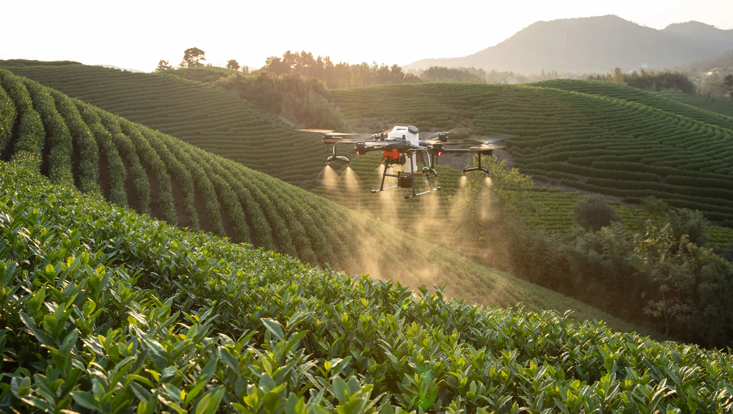
What types of projects benefit most from UAV land mapping?
+
Construction, agriculture, infrastructure, mining, and environmental projects benefit strongly, especially where site size, terrain difficulty, or update frequency drives cost.
What should businesses validate before choosing a mapping UAV?
+
Validate positioning accuracy, imaging quality, flight endurance, capture reliability, and software compatibility with your existing mapping workflow.
Continue Exploring
Continue Exploring
Keep the momentum going with a few related reads selected to extend this topic into strategy, deployment, and practical field use.
Featured Read
Why UAV Inspection Is Becoming Standard in Industrial Operations
Industrial Inspection · Mar 29, 2026
Recommended
What to Look for in an Industrial Inspection UAV
Industrial Inspection · Mar 21, 2026
Recommended
How Drones Fit Into Industrial Monitoring Workflows
Industrial Inspection · Apr 5, 2026
Recommended
What Businesses Should Know Before Choosing a Heavy-Lift Cargo UAV
Industrial Logistics · Apr 29, 2026
Recommended
Drone as First Responder: Turning the First Minutes of an Emergency Into Actionable Intelligence
Public Safety · Apr 24, 2026
Want more industry insights?
Explore drone applications, implementation playbooks, and operational best practices with our editorial team.