Drone as First Responder: Turning the First Minutes of an Emergency Into Actionable Intelligence
How Drone as First Responder workflows turn early-scene uncertainty into faster, safer emergency decisions.
April 24, 2026
In emergency response, the first few minutes often determine how the rest of an incident unfolds. The challenge is usually not effort or commitment. It is the lack of clear information at the exact moment it is needed.
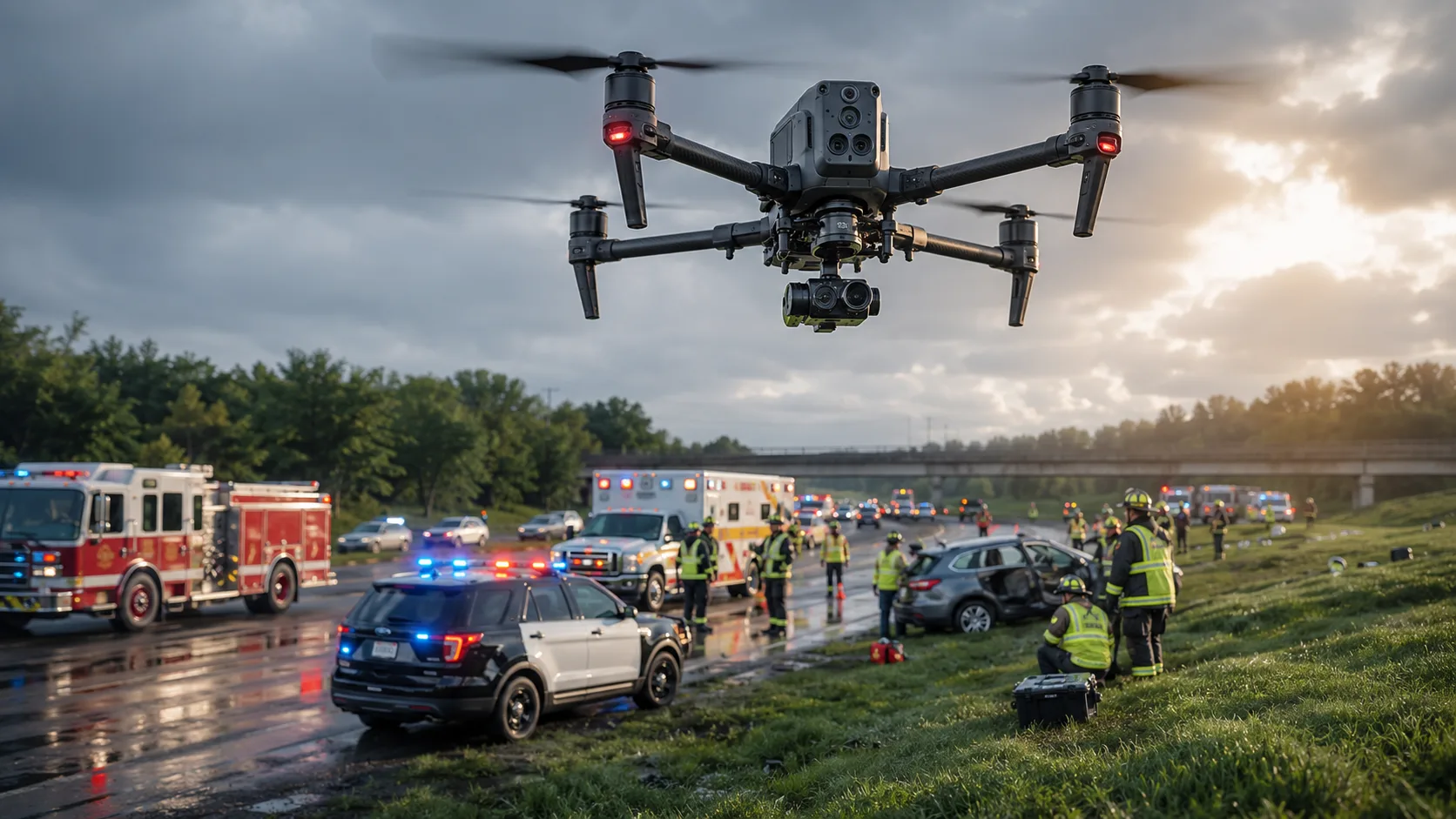
Drone as First Responder (DFR) changes that by launching a UAV immediately after an emergency call is received. Command teams gain a live aerial view before most ground units fully arrive, helping them assess risk, allocate resources, and make faster, safer decisions.
DFR is not just about launching drones sooner. It is about delivering actionable intelligence earlier so responders can start with clarity instead of uncertainty.
Why the First Look Matters
Every emergency begins with incomplete information. Initial reports may mention smoke, a crash, a missing person, or a hazard, but on-scene reality is often more complex. Early assumptions can shape every downstream decision.
A DFR workflow puts eyes on scene almost immediately, allowing command staff to assess fire scale, search-area layout, access constraints, and visible hazards while response units are still en route.
For agencies building this capability into broader public safety rescue solutions, early visibility directly improves command quality and deployment confidence.
How DFR Changes the Response Model
Traditional response often follows a fixed sequence: dispatch, travel, arrival, assessment, then action. DFR compresses that timeline by moving assessment forward.
Once the call comes in, the drone launches and streams live video to the response team. Incident command can evaluate the scene in real time and refine plans before crews commit to routes, staging points, and hazard zones.
This shift does not only speed response. It makes response decisions more precise.
Where DFR Creates the Most Value
DFR is especially valuable when time is limited, visibility is poor, or scene complexity is high.
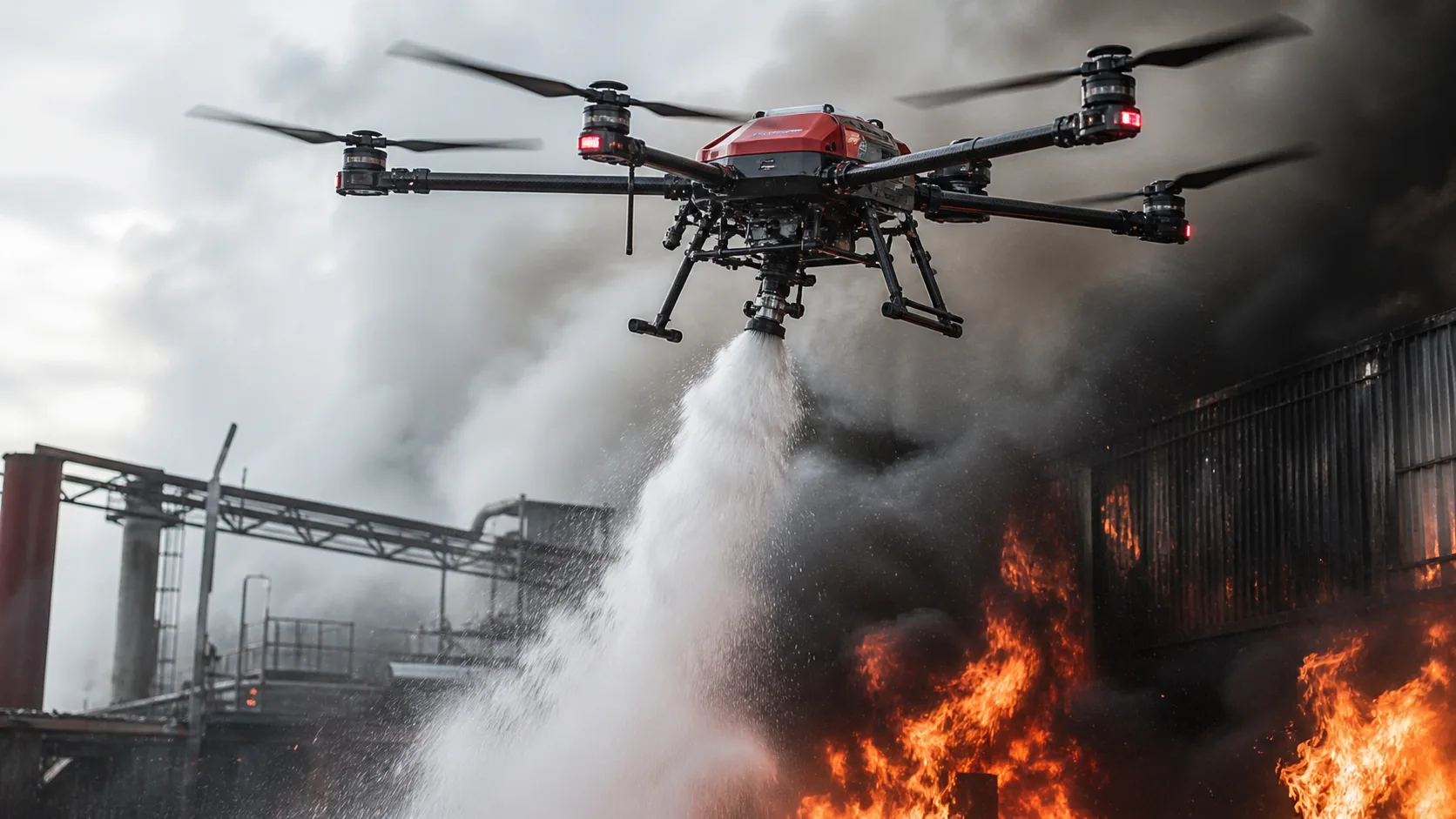
Wildfire Response
In wildfire incidents, smoke, terrain, and changing fire behavior reduce ground visibility. DFR helps command teams identify fire edges, monitor hotspots, and track development trends earlier.
That early understanding supports safer crew placement, better containment decisions, and more effective ongoing monitoring.
When thermal context is required, agencies often pair DFR workflows with thermal imaging drones for public safety to improve nighttime and low-visibility outcomes.
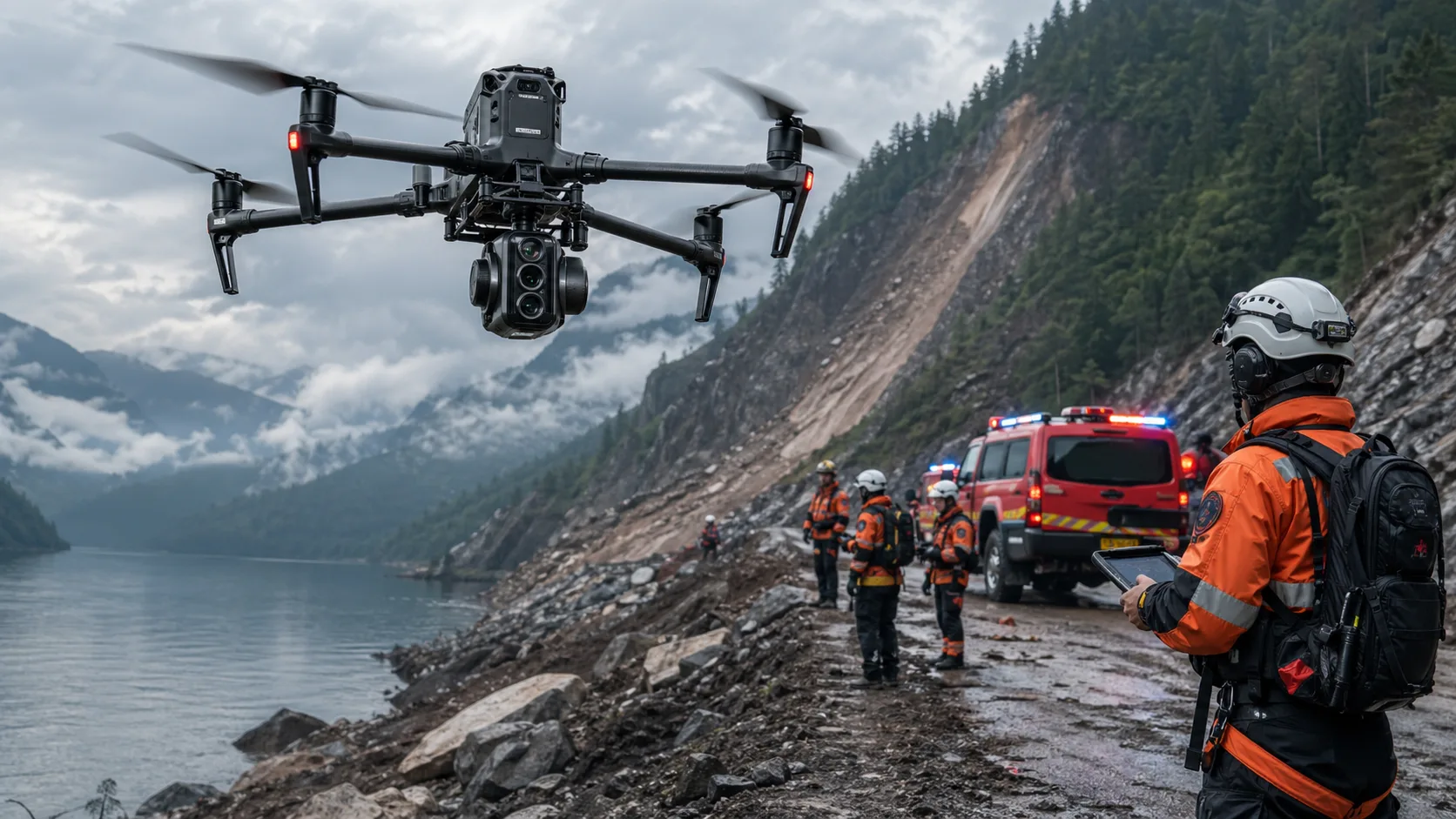
Search and Rescue
Search and rescue depends on speed, precision, and efficient area coverage. DFR helps teams evaluate large or hard-to-reach terrain quickly and focus search resources where they are most needed.
With thermal payload support, teams can detect likely heat signatures in darkness, wooded zones, or visually degraded environments, reducing blind search time.
Incident Assessment
For traffic incidents, structural concerns, hazardous environments, or large public events, DFR provides a clearer picture before crews move in. That supports safer staging and better coordination as conditions evolve.
What Makes a DFR System Effective
An effective DFR capability is more than a drone in the air. It is a complete emergency workflow.
- Rapid launch readiness to capture early-scene intelligence
- Reliable live video transmission for command decisions
- Thermal option support for night and smoke-heavy operations
- Clean integration with command-center and dispatch workflows
- Repeatable SOP alignment for multi-shift operations
For mixed mission profiles, many agencies align DFR with dedicated firefighting drones and complementary industrial security patrol UAVs to support both emergency and routine readiness tasks.
Why DFR Is More Than a Technology Trend
DFR is a change in response timing and information flow, not just a new device capability. It reduces uncertainty in the most volatile phase of an incident and improves cross-team coordination from the first minute.
For agencies handling frequent emergencies, these gains are practical and measurable: faster decisions, safer deployment patterns, and more efficient use of personnel and resources.
How Stroni Supports Public Safety Teams
Stroni public safety drone solutions are designed for mission-driven operations, including emergency response, wildfire monitoring, search and rescue, and incident assessment.
Our focus is operational reliability: fast deployment, dependable aerial intelligence, and integration with real command workflows that responders use under pressure.
Conclusion
The value of DFR is timing. By moving aerial assessment into the earliest stage of emergency response, agencies gain the clarity needed to act faster, safer, and with greater precision.
When every minute matters, early intelligence can shape the outcome of the entire mission.
Frequently Asked Questions
How quickly should a DFR unit launch after dispatch?
+
High-performing programs aim for immediate or near-immediate launch after call intake. The key metric is minimizing latency between dispatch and first live aerial visibility.
How does DFR improve responder safety?
+
DFR helps teams identify hazards, blocked access, and scene complexity before ground entry, enabling safer routing, staging, and resource decisions.
Is thermal imaging necessary for DFR programs?
+
Thermal is not mandatory for every mission, but it is highly valuable for night operations, smoke conditions, and search scenarios where visible-light cameras are limited.
What should agencies evaluate before adopting DFR?
+
Evaluate launch latency, live-stream reliability, SOP integration, pilot training, command-center workflow fit, and long-term maintenance and governance.
Continue Exploring
Continue Exploring
Keep the momentum going with a few related reads selected to extend this topic into strategy, deployment, and practical field use.
Featured Read
How Firefighting Drones Improve Situational Awareness in Active Fires
Public Safety · Mar 13, 2026
Recommended
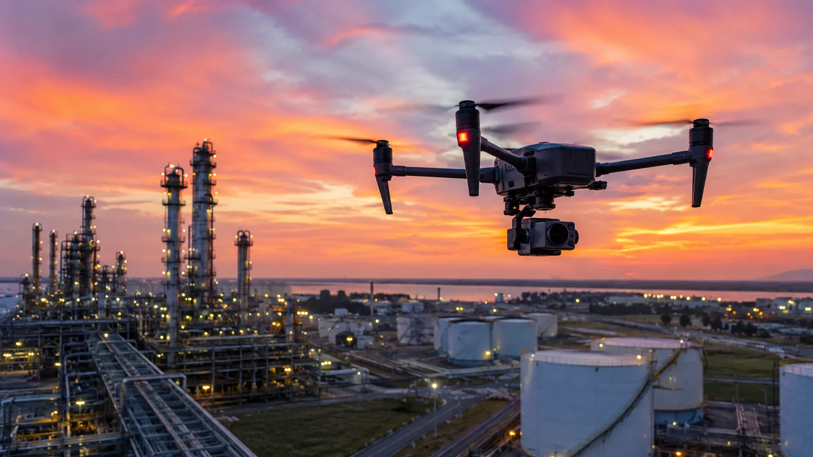
Why UAV Inspection Is Becoming Standard in Industrial Operations
Industrial Inspection · Mar 29, 2026
Recommended
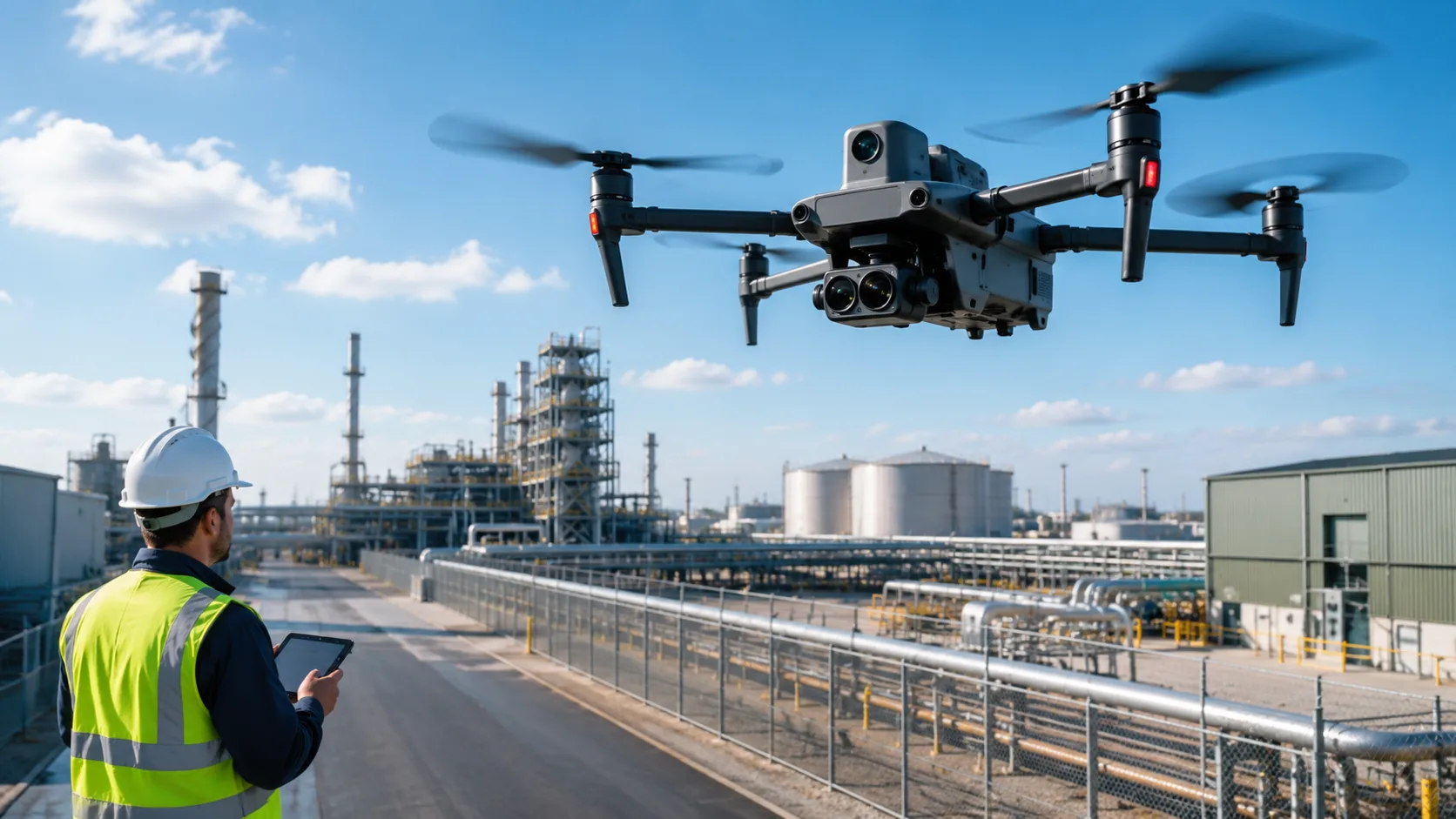
How Drones Fit Into Industrial Monitoring Workflows
Industrial Inspection · Apr 5, 2026
Recommended
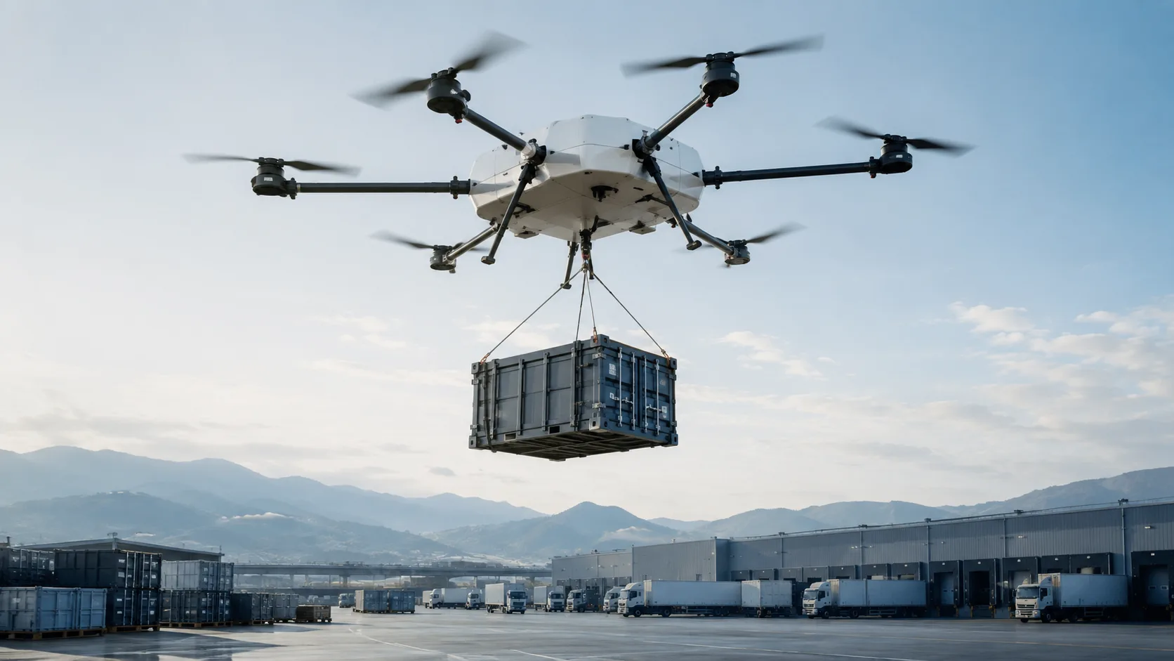
What Businesses Should Know Before Choosing a Heavy-Lift Cargo UAV
Industrial Logistics · Apr 29, 2026
Recommended
Thermal Imaging Drones for Public Safety: How They Support Search and Rescue
Public Safety · Apr 18, 2026
Want more industry insights?
Explore drone applications, implementation playbooks, and operational best practices with our editorial team.