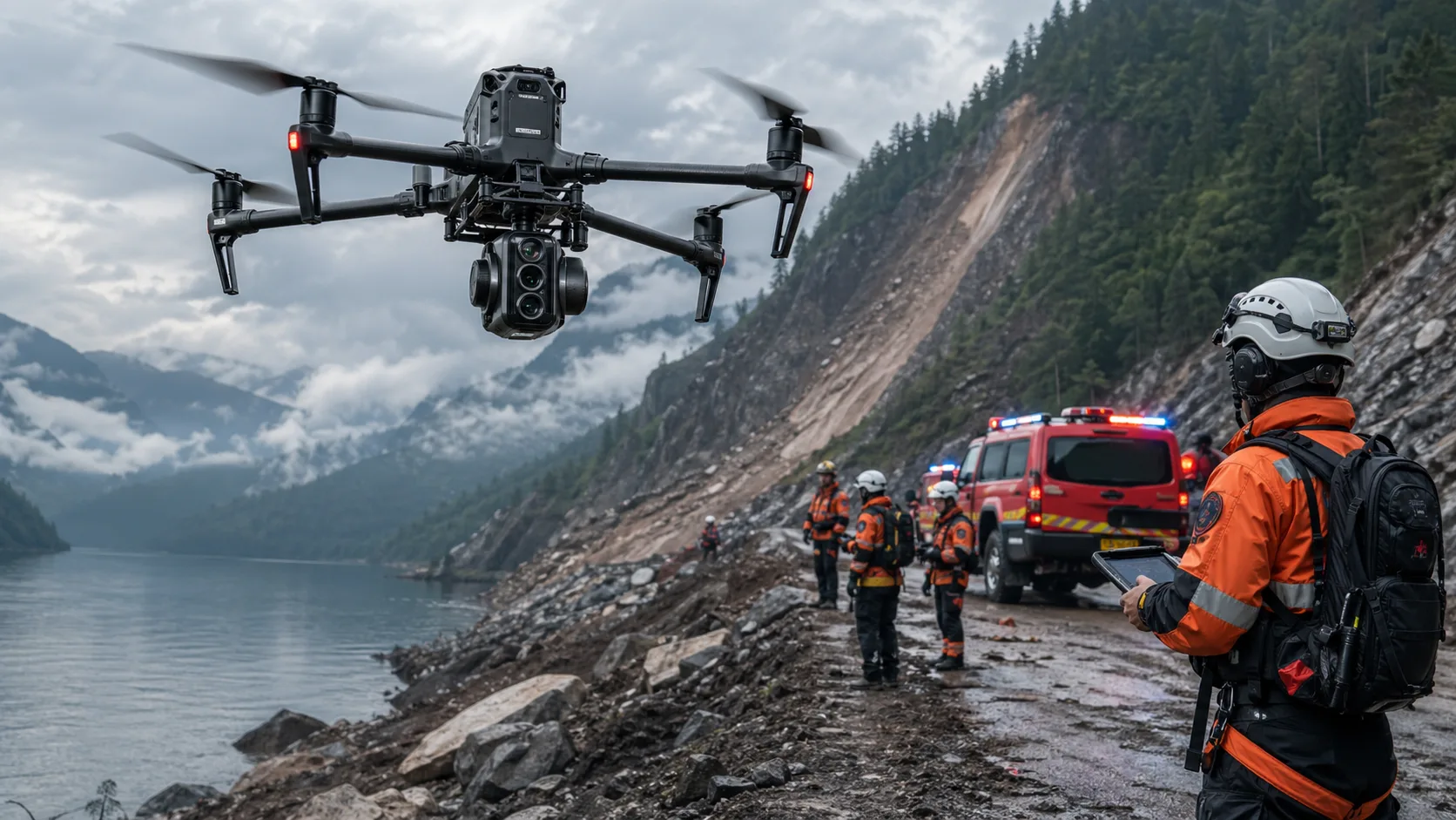
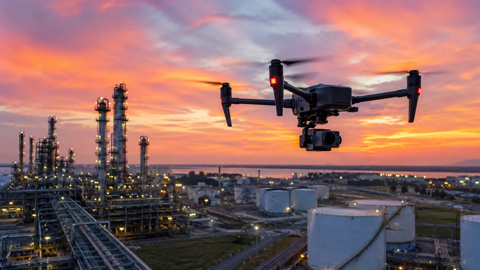
Thermal imaging drones have become one of the most valuable tools in public safety because they help responders detect what the human eye cannot. In search and rescue, wildfire response, and incident assessment, time is critical and visibility is often poor. A thermal UAV helps emergency teams detect heat signatures, locate missing people, monitor dangerous areas, and make faster decisions in unstable conditions.
For public safety agencies, this is not just a technology upgrade. It is a practical way to improve response speed, reduce responder exposure, and expand situational awareness where every second matters.
Why Thermal Imaging Matters in Public Safety
Many emergency scenes are difficult to assess from the ground. Smoke blocks visibility, darkness hides critical detail, and dense terrain makes manual searches slow and incomplete. In these environments, thermal imaging reveals heat patterns even when the scene is visually obscured.
Unlike standard cameras that rely on visible light, thermal sensors detect temperature differences. That allows responders to identify hot zones, track fire behavior, and locate human heat signatures in low-visibility operations.
How Thermal Drones Support Search and Rescue
Search and rescue missions often involve large areas, difficult terrain, and limited time. Ground teams can only cover so much area at once. A search and rescue drone equipped with thermal imaging helps teams scan wide zones quickly and focus resources where they are most likely to matter.
This is especially important in forests, mountains, flood zones, disaster areas, and urban collapse sites. Thermal signatures help teams distinguish people from background objects faster, improving target identification speed and raising the chance of timely rescue.
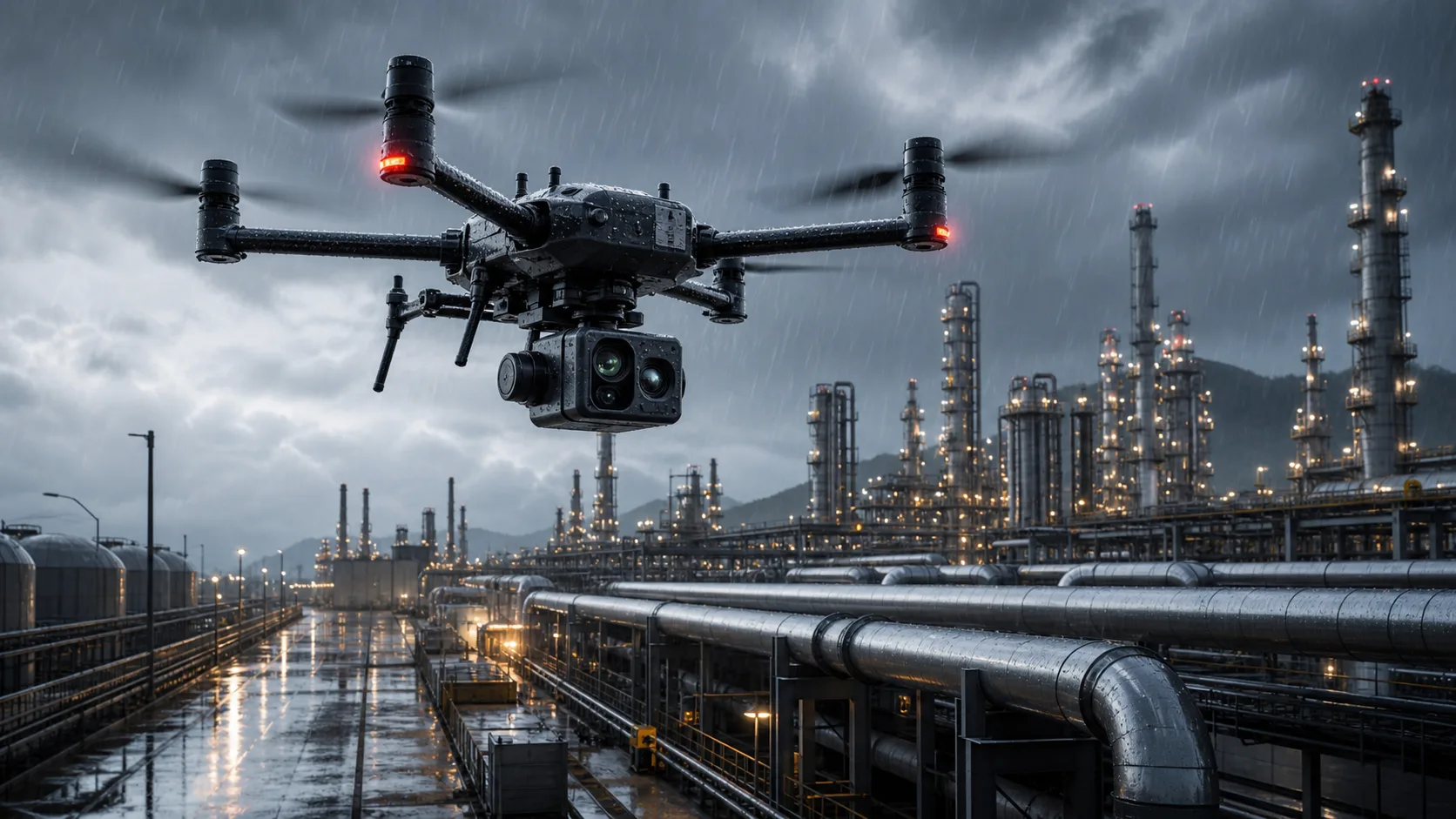
Night Operations and Low-Visibility Missions
One of the strongest use cases for thermal drones is nighttime operation. At night, visual clarity drops sharply and scene evaluation becomes harder. Thermal sensors close that gap by providing heat-based situational views.
This is particularly useful during:
- Night search and rescue missions
- Fire perimeter monitoring
- Disaster response operations
- Remote-area patrols
- Emergency scene assessment in smoke or darkness
Because thermal imaging is not dependent on ambient lighting, responders can continue effective operations after sunset and in visually degraded environments.
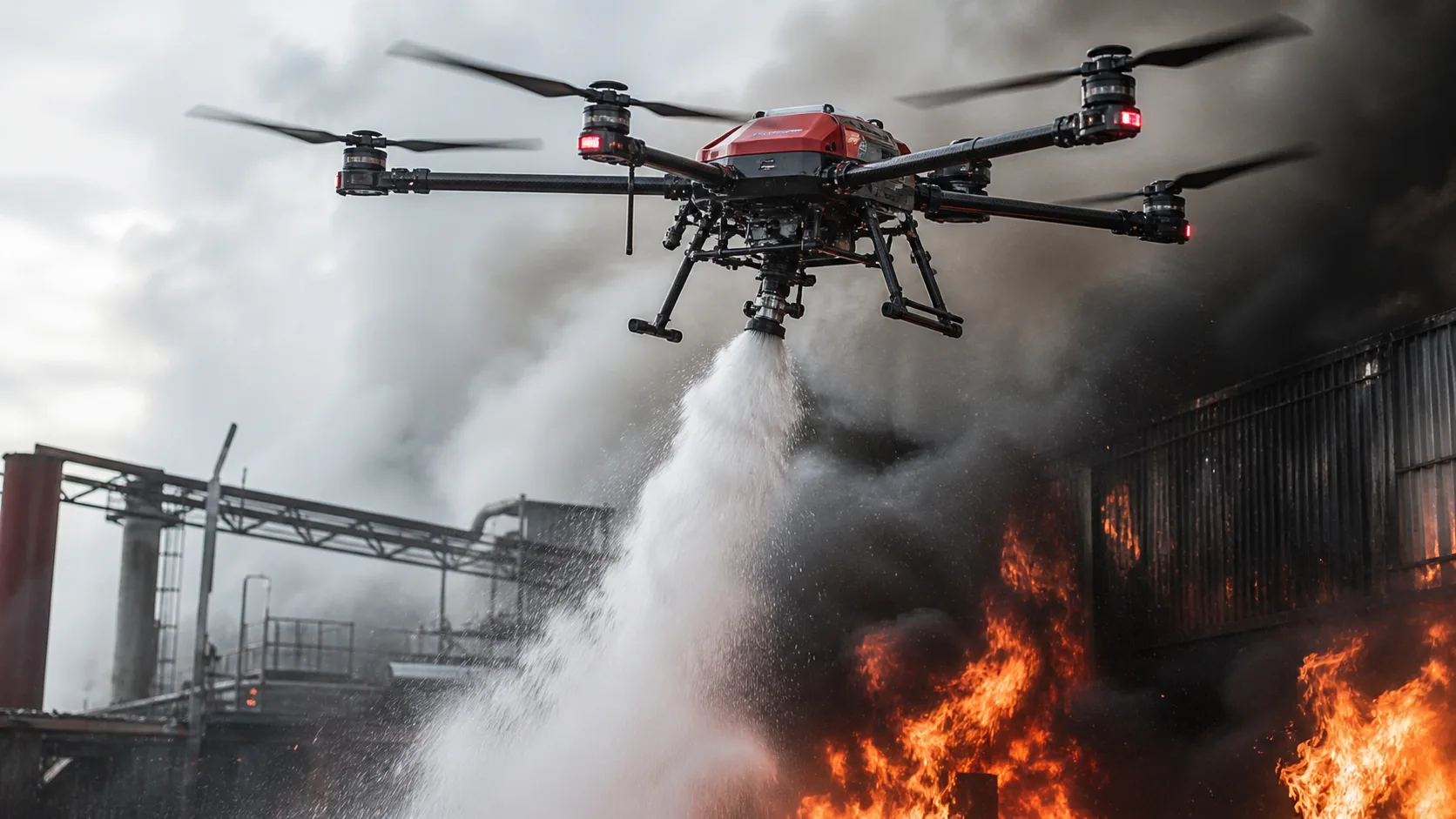
Thermal Imaging in Wildfire Response
Wildfire operations benefit greatly from thermal imaging because fire behavior can change quickly and the most dangerous areas are not always visible from the ground. Thermal drones help incident commanders track fire lines, detect flare-ups, identify hotspots, and monitor hidden residual heat.
Many teams use UAV thermal data for perimeter monitoring, hotspot detection, night surveillance, crew safety planning, and post-fire assessment.
For organizations building a full emergency stack, this capability is often integrated with broader public safety rescue solutions to improve command speed and operational coordination.
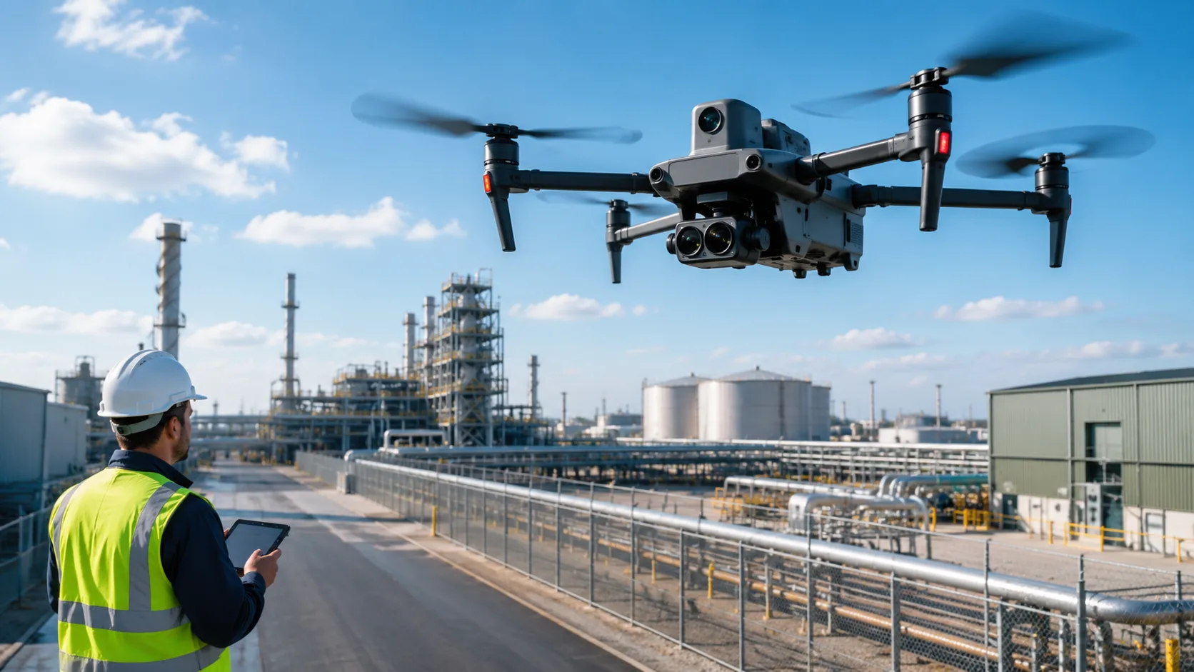
Drone as First Responder Workflows
Thermal UAVs are also critical in Drone as First Responder workflows. In this model, the drone launches immediately when an incident occurs, often before ground units arrive. Command teams get early visual and thermal context, which improves dispatch quality and on-scene risk assessment.
When responders need rapid aerial overwatch in fire-related incidents, pairing this approach with dedicated firefighting drones can improve early hazard identification and perimeter awareness.
What Public Safety Teams Actually Need
Public safety buyers do not just want a drone platform. They need a reliable operational workflow. In practice, agencies ask:
- Can this help us find people faster?
- Can it support reliable night operations?
- Can it detect hotspots and evolving fire spread?
- Can it reduce responder risk?
- Can it integrate with real emergency SOPs?
That is why the best programs focus on usable data delivery, clear command outputs, and repeatable deployment standards rather than hardware specs alone.
What Makes a Good Thermal Imaging Drone
If you are evaluating a thermal UAV for emergency operations, assess more than the sensor itself. A suitable platform should provide:
- Stable flight for reliable data capture
- Clear thermal imagery for heat differentiation
- Strong live transmission for command support
- Mission flexibility across SAR, wildfire, and incident response
- Operational reliability in real emergency environments
For agencies that also run perimeter and infrastructure patrol tasks, complementary security patrol UAVs can support multi-mission readiness beyond single-incident use.
How Stroni Fits In
Stroni public safety UAV solutions are designed to improve situational awareness, search efficiency, and responder safety. Our platforms support thermal workflows for search and rescue, wildfire monitoring, and Drone as First Responder operations.
For teams validating deployment pathways, field examples such as how firefighting drones improve situational awareness help convert technical capability into practical SOP planning.
Final Thoughts
Thermal imaging drones are changing public safety operations because they provide the visibility needed in difficult conditions. Whether the mission is SAR, wildfire monitoring, or incident assessment, thermal UAVs help responders detect heat, locate people, and reduce operational risk.
As emergency missions become more complex, fast and reliable aerial intelligence is no longer optional. It is becoming essential for agencies that prioritize both speed and safety.
Frequently Asked Questions
How accurate are thermal drones for locating missing persons at night?
+
Accuracy depends on sensor quality, altitude, weather, and scene complexity. In well-planned missions, thermal drones significantly improve detection speed and search prioritization compared with visual-only methods.
How do thermal drones support Drone as First Responder workflows?
+
They provide immediate heat-based situational awareness before ground arrival, helping command teams identify hazards, probable victim locations, and safer approach paths.
What weather factors reduce thermal mission effectiveness?
+
Heavy rain, dense humidity layers, and extreme thermal clutter can reduce clarity. Mission planning should account for environmental conditions, altitude, and sensor calibration.
What should agencies evaluate before procurement?
+
Assess thermal clarity, live transmission stability, battery endurance, deployment speed, workflow integration, training requirements, and long-term maintenance support.
Continue Exploring
Continue Exploring
Keep the momentum going with a few related reads selected to extend this topic into strategy, deployment, and practical field use.
Featured Read
How Firefighting Drones Improve Situational Awareness in Active Fires
Public Safety · Mar 13, 2026
Recommended
Why UAV Inspection Is Becoming Standard in Industrial Operations
Industrial Inspection · Mar 29, 2026
Recommended
What to Look for in an Industrial Inspection UAV
Industrial Inspection · Mar 21, 2026
Recommended
How Drones Fit Into Industrial Monitoring Workflows
Industrial Inspection · Apr 5, 2026
Recommended
What Businesses Should Know Before Choosing a Heavy-Lift Cargo UAV
Industrial Logistics · Apr 29, 2026
Want more industry insights?
Explore drone applications, implementation playbooks, and operational best practices with our editorial team.