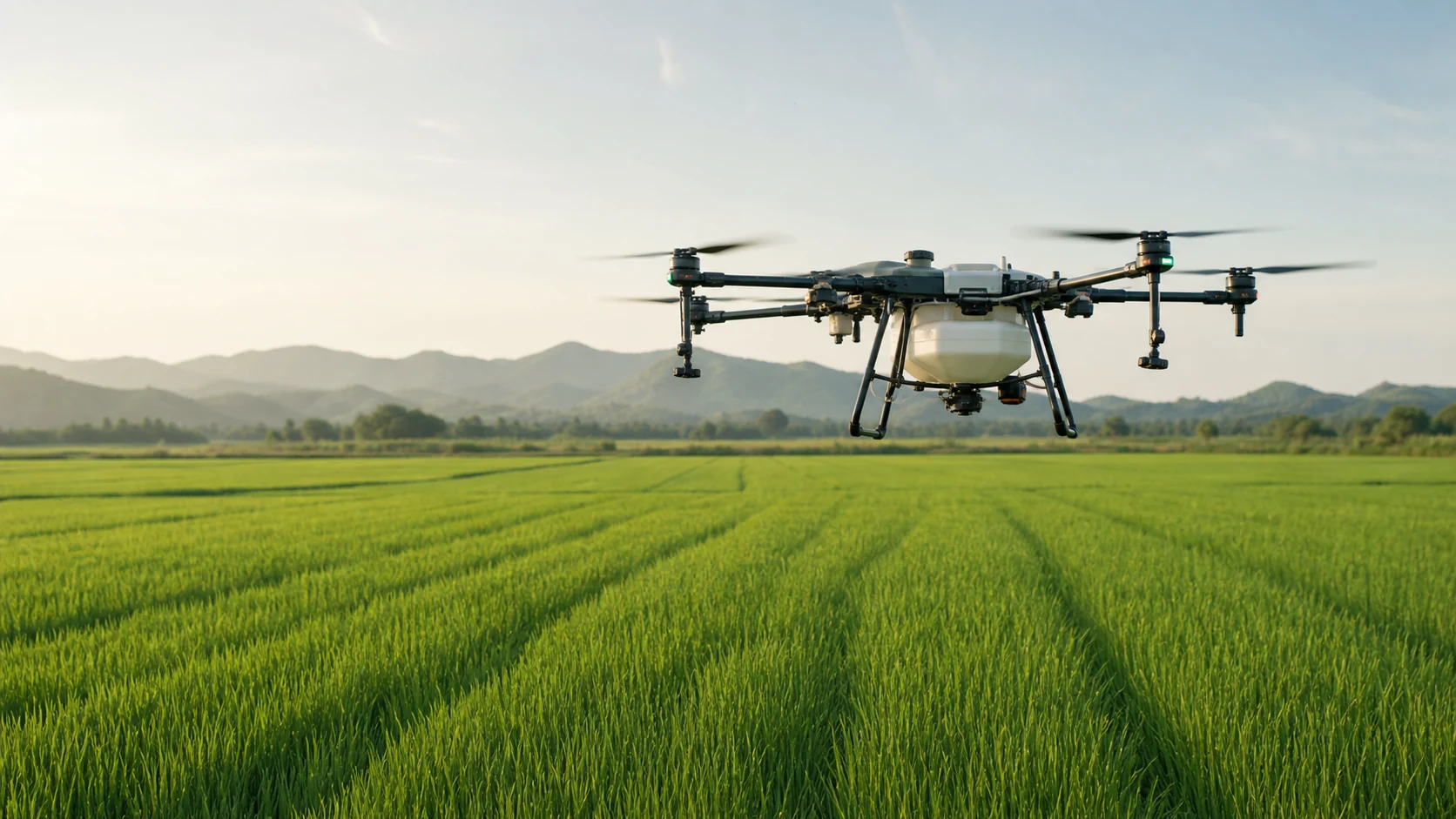
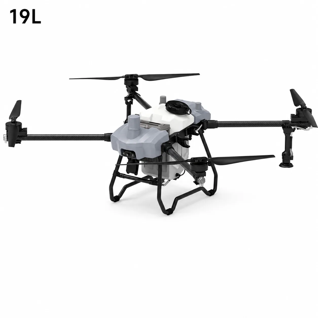
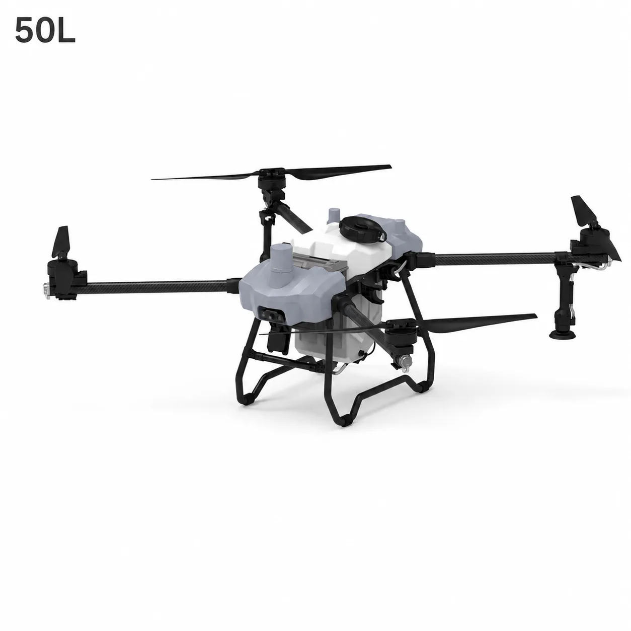
Agriculture drones in China have developed from simple remotely controlled aircraft into integrated field-operation systems. A modern agriculture UAV can combine autonomous route planning, positioning, terrain following, liquid spraying, granular spreading, and digital field records in one workflow.
The term "agriculture drone" does not describe one single machine. It includes several types of UAVs designed for different tasks, crops, terrain, and operating environments. Some are optimized for spraying and spreading. Others carry mapping cameras, multispectral sensors, or thermal payloads to help agronomists understand field conditions before treatment.
This guide explains the main technologies and applications behind Chinese agriculture drones without focusing on brands or product prices.
What Is an Agriculture Drone?
An agriculture drone is an unmanned aircraft configured to support farming activities. Depending on its payload and software, it may be used to:
Apply crop-protection liquids
Spread seeds, fertilizer, or other granules
Create maps of fields and plantations
Capture high-resolution crop imagery
Collect multispectral or thermal data
Monitor plant health and irrigation patterns
Record operations for farm management
The aircraft is only one part of the system. A working agriculture UAV setup normally includes the airframe, propulsion system, batteries, navigation equipment, payload, remote controller, mission-planning software, and maintenance procedures.
Why Multirotor Drones Are Common in Agriculture
Many agriculture drones use a multirotor design because it provides several useful characteristics for field work.
Vertical Takeoff and Landing
A multirotor can take off from a small prepared area without a runway. This is useful near fields, orchards, terraces, and plantations where suitable launch space may be limited.
Low-Speed Control
Spraying and spreading require controlled flight at relatively low altitude. Multirotor aircraft can hover, follow short routes, and make precise turns at field boundaries.
Payload Flexibility
The central structure can carry a liquid tank, spreading hopper, camera, radar, or other agricultural equipment. The payload still has to remain within the aircraft's approved mass, balance, power, and structural limits.
Downwash
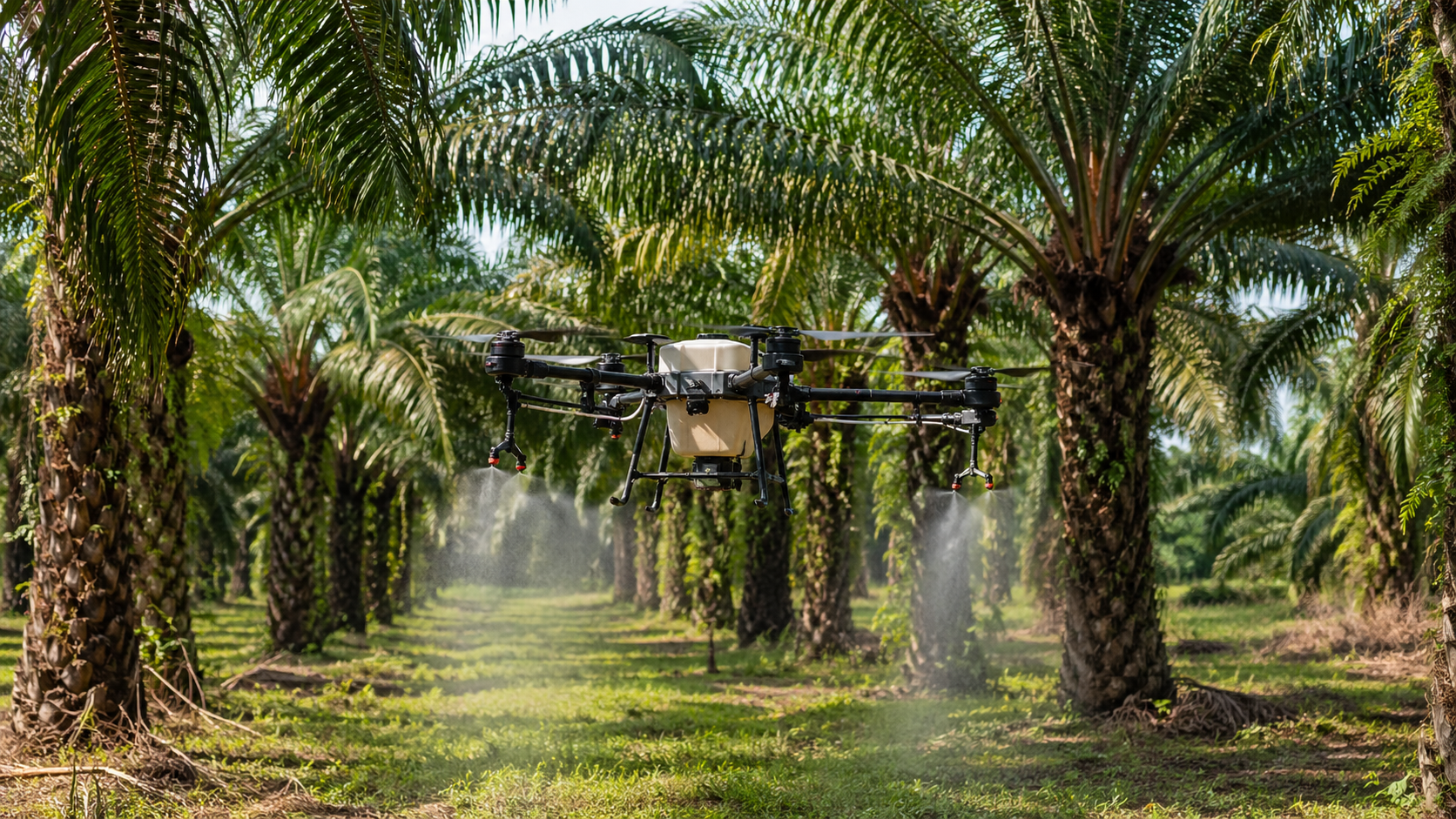
The airflow generated by the rotors is called downwash. During spraying, downwash helps move droplets toward the crop canopy. It also affects deposition, canopy movement, drift, and spray distribution, so it must be considered when setting height, speed, nozzle type, and droplet size.
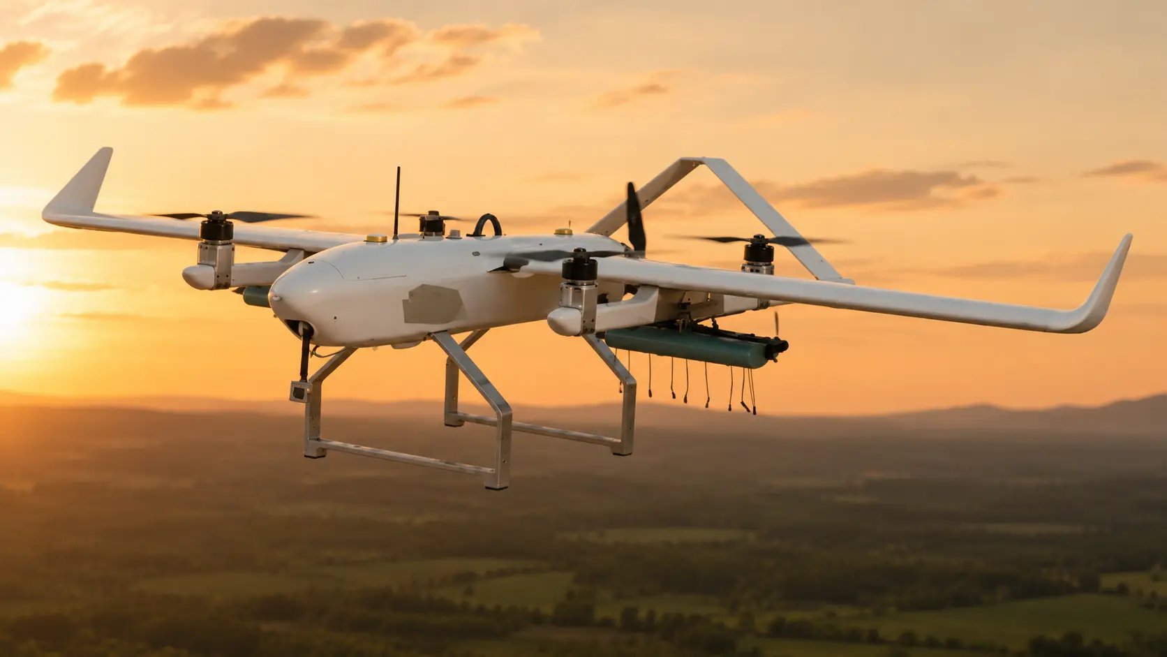
Fixed-wing and VTOL fixed-wing UAVs also have important agricultural roles, especially in wide-area mapping and crop monitoring. They are generally better suited to long-distance data collection than close-range liquid application.
The Main Systems Inside an Agriculture UAV
Modern agriculture drones combine several technical subsystems.
Airframe and Propulsion
The airframe supports the payload and protects the main electronics. Motors, propellers, electronic speed controllers, and batteries generate lift and control movement. Larger payloads require more thrust and place greater demands on the power system.
Flight Controller
The flight controller processes data from navigation and motion sensors. It stabilizes the aircraft and follows commands from the operator or mission plan.
Positioning
Standard satellite positioning supports navigation and route execution. RTK positioning can provide higher relative accuracy when the operation requires closer alignment between planned and actual flight paths.
Terrain Following
Radar, LiDAR, or other ranging sensors can help the aircraft maintain a more consistent height above crops or ground. This is particularly useful where the field surface changes or the crop canopy is uneven.
Terrain following does not remove the need for route inspection. Wires, trees, poles, sudden elevation changes, and reflective surfaces can still create risks.
Obstacle Awareness
Some platforms use radar, cameras, or ranging sensors to detect obstacles. Their effectiveness depends on obstacle size, material, direction, lighting, weather, speed, and sensor limits. Operators should understand what the system can and cannot detect.
Application Payload
The payload may be a spraying system, spreading system, RGB camera, multispectral sensor, or another agricultural instrument. Each payload changes aircraft weight, endurance, balance, and mission workflow.
How a Spraying Drone Works
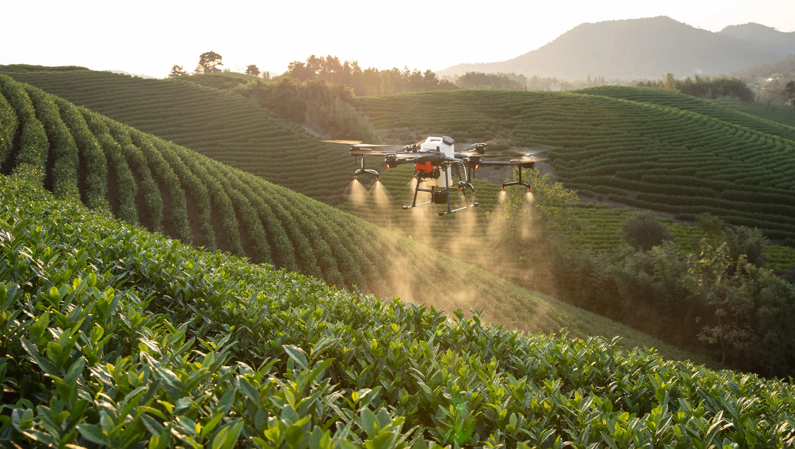
A spraying drone carries liquid in a tank and delivers it through pumps, hoses, flow controls, and nozzles.
A typical operation follows these stages:
The operator identifies field boundaries and nearby hazards.
The application rate, route spacing, speed, and height are configured.
The liquid system is inspected and calibrated.
The aircraft follows the planned route while flow control coordinates application with movement.
Batteries and liquid are replaced or refilled between flight cycles.
The aircraft and spray system are cleaned and inspected after work.
Good spraying performance depends on the relationship between the aircraft and the crop. Application volume, droplet size, nozzle type, flight speed, height above the canopy, wind, temperature, humidity, and plant structure can all affect deposition.
For a deeper technical explanation, read how agricultural spraying drones work.
How a Spreading Drone Works
A spreading drone carries dry material in a hopper. A feed mechanism controls how the material enters a rotating disc or other distribution device.
Common applications include:
Seed distribution
Granular fertilizer application
Cover-crop establishment
Selected aquaculture or plantation tasks where locally permitted
Spreading accuracy is influenced by granule size, shape, density, moisture, feed rate, disc speed, flight height, wind, and route spacing. A setting that works for one fertilizer may not work for a lighter seed.
Calibration should therefore use the actual material. The operator needs to check both the total discharge rate and the distribution pattern across the effective swath.
Mapping and Crop-Monitoring Drones
Mapping UAVs focus on data rather than material application.
An RGB camera can capture overlapping images that are processed into an orthomosaic, field map, elevation model, or visual crop record. Multispectral sensors capture selected wavelength bands that can reveal differences in crop vigor and canopy response. Thermal sensors can help identify temperature patterns associated with irrigation, plant stress, or equipment issues.
These tools do not automatically diagnose a crop problem. They help agronomists find patterns and prioritize field inspection. A suspicious area on a map should normally be checked on the ground and interpreted with crop stage, weather, soil, irrigation, pest, and management information.
Our precision agriculture guide explains how UAV imagery fits into a wider decision workflow.
Typical Agriculture Drone Applications in China
China includes large plains, rice-growing regions, orchards, tea plantations, mountainous farms, and many other agricultural environments. This diversity has encouraged the development of different agriculture UAV configurations and operating practices.
Common applications include:
Field-Crop Spraying
Autonomous routes help maintain repeatable passes over crops such as rice, wheat, corn, cotton, and soybean. Settings must still be adapted to crop stage, canopy, product label, field conditions, and local guidance.
Orchard Operations
Orchards introduce tree canopies, row structure, slopes, branches, and variable height. Successful work depends on route design, droplet penetration, aircraft clearance, sensor behavior, and careful site preparation.
Granular Spreading
Spreading systems can support selected seeding and fertilizer tasks. Material-specific calibration is essential because granules behave differently.
Field Mapping
Mapping drones help create boundaries, base maps, terrain models, and repeatable visual records. These outputs can support scouting and planning.
Crop-Health Monitoring
Multispectral and thermal imagery can reveal field variability that is difficult to see from ground level. The value comes from combining aerial data with agronomic interpretation.
From Field Boundary to Autonomous Mission
An autonomous flight still begins with human planning.
The workflow typically includes:
Site survey: identify boundaries, people, roads, wires, trees, water, buildings, and sensitive areas.
Field mapping: create or import the operating area.
Mission design: set direction, spacing, height, speed, turns, and exclusion zones.
System inspection: check aircraft, payload, battery, controller, positioning, and communication.
Calibration: verify flow or spreading behavior.
Execution: monitor the aircraft and surrounding area throughout the mission.
Review: inspect records, coverage, remaining material, battery condition, and any alarms.
Cleaning and maintenance: prepare the system for its next use.
Autonomy reduces repetitive control work, but it does not transfer responsibility away from the operator.
Why One Setting Does Not Work Everywhere
Agriculture UAV performance is highly dependent on context.
A suitable setting for a low field crop may be unsuitable for a dense orchard. A route used over a level field may not be safe on a hillside. A droplet spectrum that reaches one canopy may produce excessive drift or poor penetration in another situation.
Important variables include:
Crop species and growth stage
Canopy height and density
Target location within the canopy
Field shape and slope
Wind direction and speed
Temperature and humidity
Liquid properties and approved label instructions
Nozzle or atomizer type
Aircraft mass and rotor downwash
For this reason, professional operation combines manufacturer guidance, local agricultural recommendations, product-label requirements, calibration, test cards or other deposition checks, and field observation.
The Role of Standards and Responsible Operation
Agriculture drones interact with aviation, radio, machinery, pesticide, environmental, and workplace-safety rules. Requirements differ between countries and may also vary by region, crop, and chemical product.
China has developed a national standard for plant-protection unmanned aircraft, reflecting the fact that spraying performance, system reliability, and operational safety all matter. International users should follow the rules and technical guidance applicable in the destination country rather than assuming that one operating method applies worldwide.
Responsible use includes:
Trained operators
Site and weather assessment
Correct personal protective equipment
Field boundaries and exclusion zones
Drift awareness
Equipment calibration
Battery safety
Post-operation cleaning
Maintenance and record keeping
Common Misunderstandings About Agriculture Drones
"A Larger Tank Always Means Better Performance"
Tank size is only one variable. Field access, application rate, battery rotation, refill process, transport, terrain, and crop structure all influence the real workflow.
"Autonomous Means Unattended"
Autonomous route execution still requires mission planning, supervision, hazard awareness, and the ability to intervene.
"The Drone Determines the Correct Spray Setting"
The aircraft can execute configured parameters, but appropriate settings depend on the crop, target, product label, environment, and local technical guidance.
"A Multispectral Map Is a Diagnosis"
Remote sensing reveals patterns. Agronomic interpretation and ground verification are required to understand the cause.
How Stroni Approaches Agriculture UAV Applications
Stroni UAV provides civil agriculture platforms for spraying, spreading, and precision-farming workflows. The emphasis is on matching the aircraft, payload, navigation system, and support materials to the intended agricultural task.
Readers can explore Stroni agriculture UAV platforms, review the precision agriculture solution, or examine the Y6-60 heavy-payload agriculture UAV as one example of a larger multirotor platform.
Final Thoughts
Agriculture drones in China represent the integration of aircraft engineering, automation, application technology, remote sensing, and farm management.
Their value does not come from flight alone. It comes from using the right payload, planning the mission correctly, understanding the crop, calibrating the system, and operating responsibly.
For technical specifications or application information about Stroni civil agriculture UAV platforms, email info@stroniuav.com.
Frequently Asked Questions
What is the main use of agriculture drones in China?
Common uses include crop spraying, granular spreading, field mapping, crop monitoring, and precision-agriculture data collection.
Are all agriculture drones used for spraying?
No. Some carry spreading systems, RGB cameras, multispectral sensors, thermal cameras, or other agricultural payloads.
Why are multirotor drones common in agriculture?
They can take off vertically, fly slowly, hover, follow short field routes, and carry spraying or spreading payloads without requiring a runway.
Can the same operating parameters be used for every crop?
No. Height, speed, application volume, droplet size, route spacing, and other settings must be adapted to the crop, canopy, terrain, weather, product instructions, and local guidance.
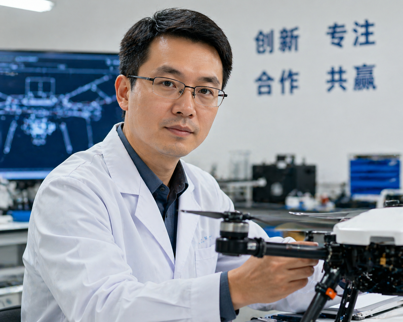
About the Author:Wei Chen is the Chief UAV Engineer at Stroni, focusing on the architectural design and flight control system optimization of industrial multi-rotor platforms. Learn more →
Frequently Asked Questions
What is this article about?
+
Learn how agriculture drones in China are designed and used for spraying, spreading, mapping, crop monitoring, and precision field operations.
Who is this for?
+
It is written for teams planning, operating, or scaling enterprise drone workflows.
Where can I find related examples?
+
Use the related case studies and solutions on this page to review similar field applications.
Continue Exploring
Continue Exploring
Keep the momentum going with a few related reads selected to extend this topic into strategy, deployment, and practical field use.
Featured Read
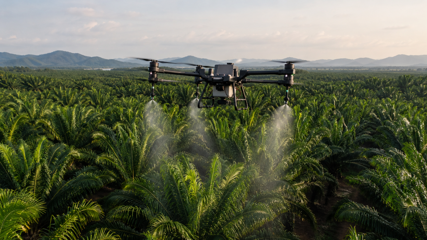
How Much Does an Agricultural Spraying Drone Cost in 2026? Complete Price Guide
Agriculture Drones · Jul 3, 2026
Recommended
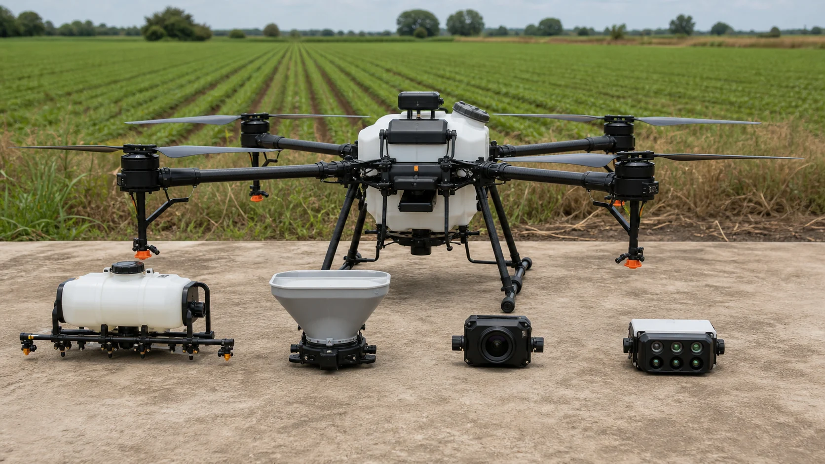
Agriculture Drone Payloads Explained: Spraying, Spreading, Mapping and Multispectral Imaging
Agriculture Drones · Jul 31, 2026
Recommended
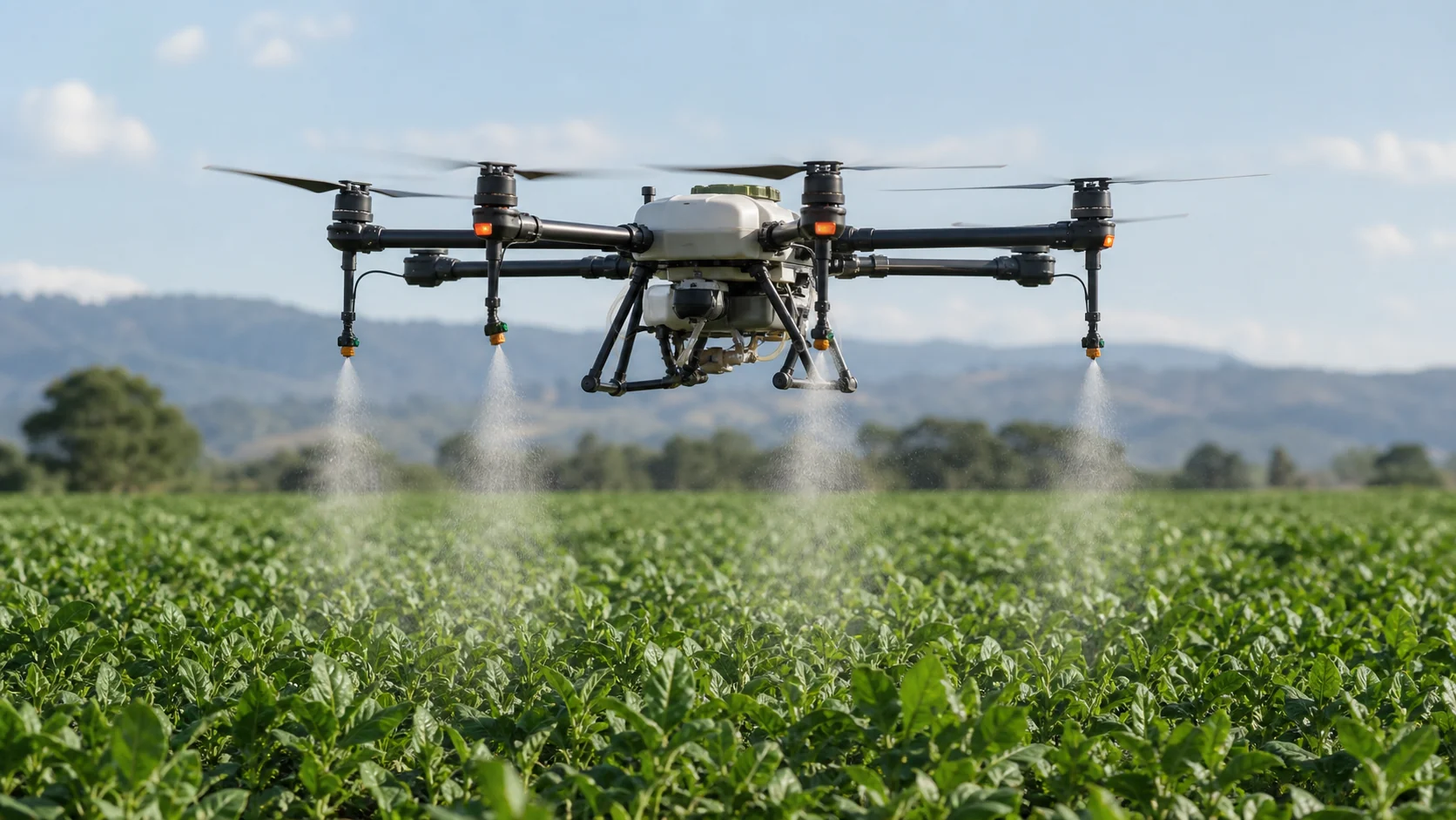
How Agricultural Spraying Drones Work: From Route Planning to Droplet Deposition
Agriculture Drones · Jul 31, 2026
Recommended
Agriculture Drone Cost per Hectare: Battery, Labor and ROI Calculator
Agriculture Drones · Jul 29, 2026
Recommended
How Many Hectares Can a 50L Agriculture Drone Spray Per Hour?
Agriculture Drones · Jul 29, 2026

Want more industry insights?
Explore drone applications, implementation playbooks, and operational best practices with our editorial team.