Agriculture Drone Payloads Explained: Spraying, Spreading, Mapping and Multispectral Imaging
How different payloads change the purpose, flight behavior, data, and maintenance requirements of an agriculture UAV.
July 31, 2026
The payload determines what an agriculture drone actually does.
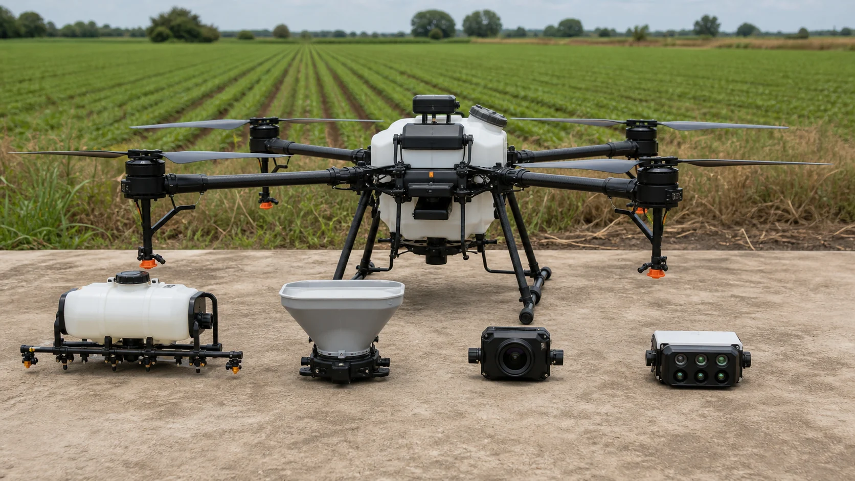
Two UAVs may use similar flight-control technology but perform completely different tasks because one carries a spraying tank while the other carries a multispectral camera. The payload also changes aircraft weight, balance, endurance, power demand, route design, maintenance, and the skills required from the operator.
This guide explains the most common agriculture drone payloads and how they fit into real farming workflows.
What Is a Drone Payload?
A payload is the equipment carried by the aircraft to perform a mission. It is separate from the components required simply to fly, although the two systems must be technically integrated.
Agriculture UAV payloads generally belong to two groups:
Application Payloads
These carry and distribute material:
Liquid spraying systems
Granular spreading systems
Specialized dispensers for approved agricultural tasks
Sensing Payloads
These collect information:
RGB cameras
Multispectral cameras
Thermal cameras
LiDAR or other mapping sensors
Application payloads change the field directly. Sensing payloads create information that supports a later decision or action.
Why Payload Integration Matters
A payload cannot be selected only by its own specification.
It must match the aircraft in several ways:
Total weight
Center of gravity
Mounting structure
Electrical voltage and power draw
Data and control interface
Vibration environment
Cooling and weather protection
Electromagnetic compatibility
Software and mission-planning workflow
A technically incompatible payload may reduce flight stability, interfere with sensors, exceed power limits, or produce unreliable data.
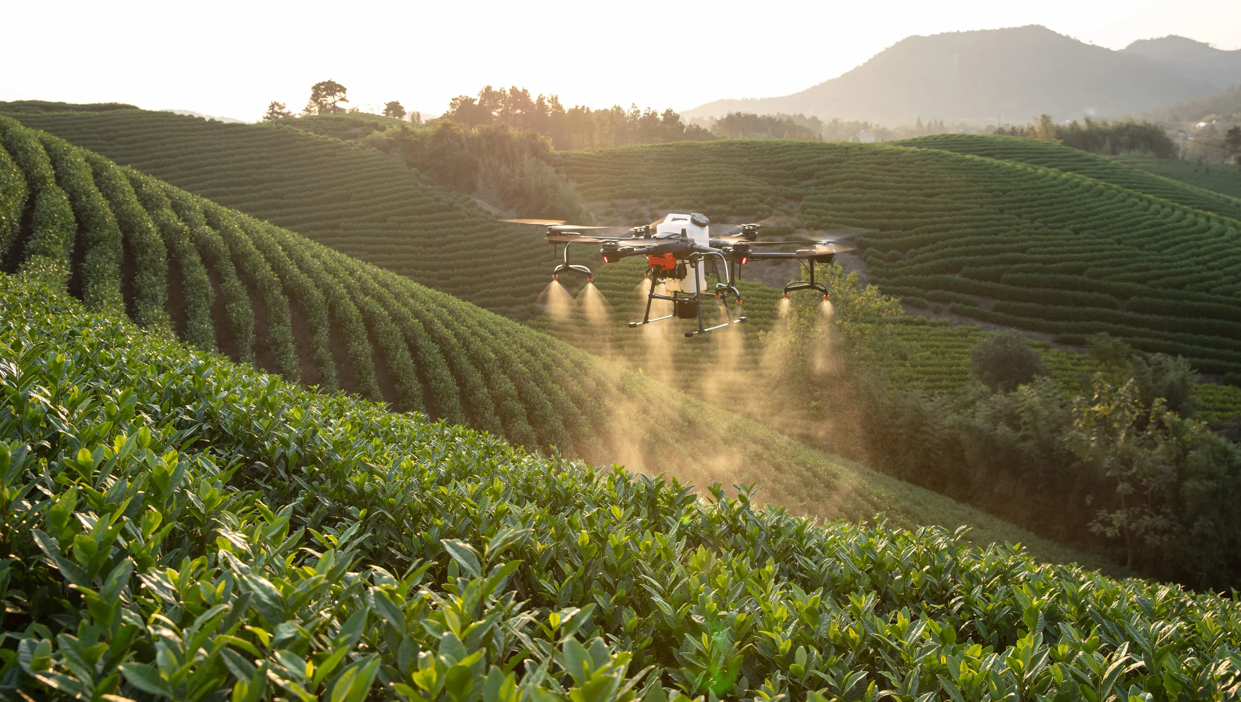
Liquid Spraying Payloads
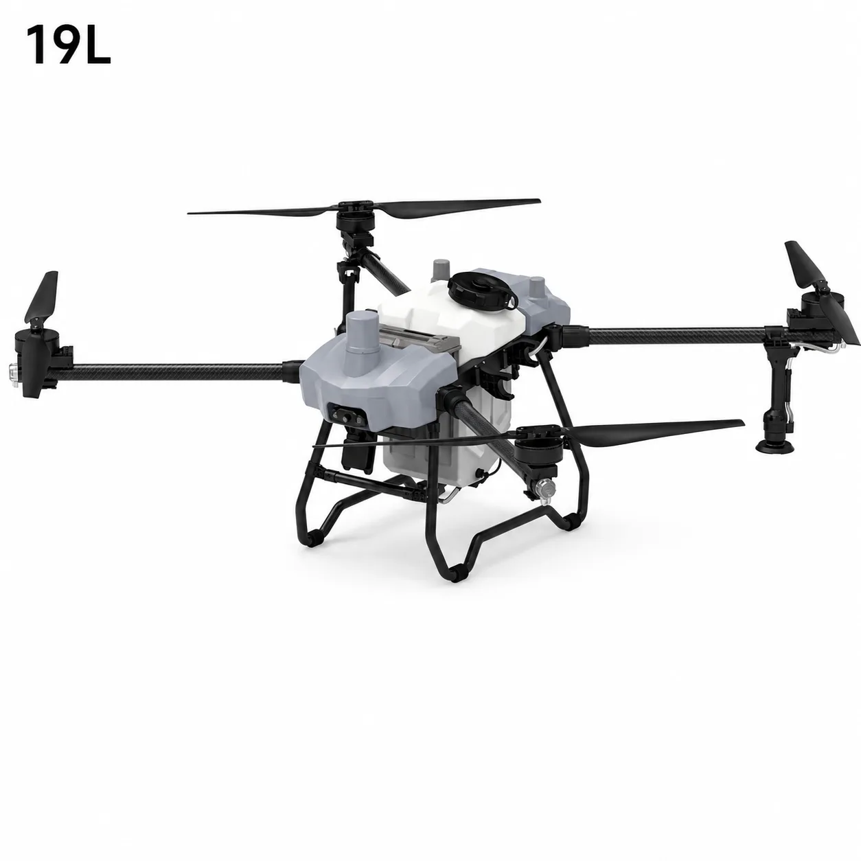
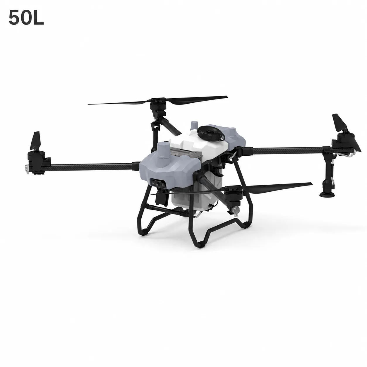
A spraying payload normally includes:
Liquid tank
Outlet and filters
Pumps
Hoses and valves
Flow sensor or controller
Nozzles or rotary atomizers
Mounting structure
The payload stores liquid and converts it into a controlled spray while the aircraft follows a route.
Tanks
Tank shape and mounting affect the aircraft's center of gravity. Because liquid moves during flight, internal design and secure installation matter.
The aircraft becomes lighter as the tank empties. The flight-control and propulsion systems must remain stable across this changing mass.
Pumps and Flow Control
Pumps move liquid toward the atomization system. Flow control attempts to maintain the configured output as flight speed and route conditions change.
Filters protect pumps and nozzles from debris. Blockage, wear, air leaks, or unsuitable liquid properties can alter performance.
Nozzles and Rotary Atomizers
Hydraulic nozzles use pressure and geometry to create a spray pattern. Rotary atomizers use a spinning disc to break liquid into droplets.
Nozzle or atomizer choice affects flow, droplet spectrum, coverage, canopy penetration, and drift risk. The right configuration depends on the target, crop, approved product instructions, and environmental conditions.
Read how agricultural spraying drones work for the complete route-to-deposition process.
Granular Spreading Payloads
A spreading payload carries dry material in a hopper and controls its release.
Typical components include:
Hopper
Feed gate, auger, or metering mechanism
Rotating distribution disc
Drive motor
Flow or weight monitoring
Calibration controls
Possible applications include distributing selected seeds or granular fertilizer where permitted and agronomically appropriate.
Material Properties Matter
Granules vary in:
Diameter
Shape
Density
Surface texture
Moisture absorption
Tendency to break or clump
These differences change feed rate and spreading distance. A system calibrated for dense fertilizer pellets may not distribute light seed in the same way.
Distribution Pattern
The rotating disc throws material outward. Disc speed, feed rate, flight height, wind, and material properties influence the pattern.
The effective spreading width should be measured using the actual material. Route spacing can then be set to reduce gaps and excessive overlap.
RGB Mapping Cameras
An RGB camera records the red, green, and blue light visible to the human eye.
When the drone captures many overlapping photographs, photogrammetry software can combine them into:
Orthomosaic maps
Field boundaries
Surface models
Planting records
Drainage observations
Visual crop comparisons
What Makes a Good Mapping Image?
Mapping quality depends on more than camera resolution.
Important factors include:
Image overlap
Flight height
Ground sampling distance
Camera angle
Shutter speed
Motion blur
Lighting
Positioning accuracy
Ground-control or RTK/PPK workflow where needed
The route must be designed for consistent coverage. Missing overlap can create gaps or distortions during processing.
What RGB Cannot Show
RGB imagery is excellent for visible features, but some plant stress begins before the human eye can easily distinguish it. This is where multispectral sensing may add value.
Multispectral Cameras
A multispectral sensor records several defined wavelength bands. Depending on the camera, these may include visible bands and near-infrared information.
The data can be processed into vegetation indices and band combinations that reveal differences in canopy response.
Possible uses include:
Comparing crop vigor across a field
Identifying unusual zones for inspection
Monitoring changes over time
Supporting irrigation or nutrient investigations
Prioritizing scouting
Creating variable-management zones
A Map Is Not a Diagnosis
A vegetation-index map indicates variation. It does not automatically explain the cause.
Similar patterns can be associated with:
Water stress
Nutrient differences
Disease or pests
Soil variation
Compaction
Planting gaps
Shade
Growth stage
Imaging or calibration errors
Ground inspection and agronomic context are necessary before action is taken.
Our multispectral crop-stress case study shows how aerial data can guide more focused field scouting.
Thermal Cameras
Thermal sensors measure patterns of emitted infrared energy and present them as apparent surface-temperature differences.
In agriculture, thermal imagery may support investigation of:
Irrigation irregularities
Water stress
Drainage problems
Greenhouse or facility conditions
Livestock or equipment monitoring in suitable workflows
Thermal data is sensitive to time of day, sunlight, wind, surface material, moisture, viewing angle, and sensor calibration. A bright or dark thermal area should not be interpreted without field context.
LiDAR and Specialized Mapping Sensors
LiDAR measures distance using laser pulses and can create three-dimensional point clouds.
Agricultural applications may include:
Terrain models
Orchard structure
Canopy height
Plantation inventory
Drainage and land-form analysis
LiDAR systems can be valuable where three-dimensional structure matters, but the payload, positioning, calibration, data processing, and operator skill must work as one system.
Can One Drone Carry Every Payload?
Some platforms support interchangeable payloads, but interchangeability has limits.
Switching payloads may require:
Different mounting hardware
Balance verification
Separate power connections
Software profiles
Sensor calibration
Revised endurance expectations
Different route-planning software
Cleaning to avoid contaminating imaging equipment
A spraying aircraft operates in a wet, chemically exposed environment. A mapping camera requires clean optics and stable imaging. Combining both roles is technically possible on selected systems, but a farm team should consider whether one shared aircraft simplifies the workflow or creates maintenance conflicts.
How Payload Weight Changes Flight
As payload weight increases:
Motors require more power to maintain lift
Battery energy is consumed more quickly
Acceleration and braking behavior change
Structural loads increase
Wind response may change
Safe operating margins require closer attention
Payload weight is not only the rated capacity. It includes the tank or sensor, mounting hardware, cables, protective housings, and the material being carried.
For liquid systems, mass also changes continuously as the tank empties.
How Payloads Change Mission Planning
Each payload produces a different route.
Spraying Route
Designed around effective swath, application volume, wind, canopy, refill point, and safe turns.
Spreading Route
Designed around measured distribution width, material behavior, feed rate, and wind.
RGB or Multispectral Mapping Route
Designed around image overlap, ground resolution, lighting, camera angle, and positioning.
Thermal Route
Designed around consistent viewing conditions, time of day, sensor warm-up, overlap, and the temperature pattern being investigated.
The same field boundary may therefore produce several different missions.
Calibration by Payload Type
Calibration has a different meaning for each payload.
Spraying Payload
Check pump output, flow-sensor accuracy, nozzle condition, effective spray width, and deposition.
Spreading Payload
Check feed rate, disc speed, distribution width, and the flow behavior of the actual material.
RGB Mapping Payload
Check camera settings, image overlap, focus, and the positioning workflow.
Multispectral Payload
Check the radiometric reference, sensor settings, and lighting workflow.
Thermal Payload
Check sensor warm-up, measurement range, environmental conditions, and the interpretation process.
LiDAR Payload
Check sensor alignment, positioning, boresight, and data synchronization.
Calibration should be repeated after relevant hardware, material, settings, or environmental conditions change.
Selecting a Payload by Agricultural Question
Start with the decision the farm needs to make.
Applying an approved crop treatment: liquid spraying system
Distributing seed or granular fertilizer: spreading system
Viewing the field at high resolution: RGB mapping camera
Finding differences in crop vigor: multispectral camera
Identifying unusual surface-temperature patterns: thermal camera
Measuring the three-dimensional shape of terrain or canopy: LiDAR or mapping payload
The payload should answer a real question. Collecting more data is not useful unless the farm has a method to interpret and act on it.
Payload Maintenance and Storage
Application and sensing payloads require different care.
Spraying Systems
Clean tanks, filters, hoses, pumps, and atomizers
Inspect seals and chemical-exposed materials
Prevent residue from drying inside the system
Follow environmental rules for rinse material
Spreading Systems
Remove remaining material
Keep the hopper and feed mechanism dry
Check the disc, gate, and motor for wear or blockage
Prevent fertilizer corrosion
Imaging Sensors
Protect lenses and calibration surfaces
Keep connectors clean and dry
Use protective cases
Avoid touching optical surfaces
Maintain calibration records
Agriculture Drone Payloads in the Wider Workflow
Payloads are most valuable when they work together as part of a farming process.
For example:
An RGB or multispectral mission identifies an unusual field zone.
Agronomists inspect the zone and determine the cause.
A treatment plan is created where appropriate.
A spraying or spreading platform performs the approved field action.
Later sensing missions monitor change.
This is the connection between remote sensing and precision application.
Learn more in our complete precision agriculture guide and overview of agriculture drones in China.
Stroni Agriculture UAV Platforms
Stroni UAV supports civil agriculture applications with spraying, spreading, mapping, multispectral, and mission-specific payload options across selected platforms.
Payload availability and integration depend on the aircraft, mission, weight, power, interface, environment, and validation requirements. Explore the agriculture UAV category and precision agriculture solutions for representative configurations.
For technical information about a payload or platform, email info@stroniuav.com.
Frequently Asked Questions
What is the most common agriculture drone payload?
Spraying systems are widely associated with agriculture drones, but spreading, RGB mapping, multispectral, thermal, and LiDAR payloads also support important farming tasks.
Can a spraying drone also carry a multispectral camera?
Some platforms may support interchangeable or additional sensors, but weight, mounting, power, vibration, contamination, software, and calibration must be evaluated.
What is the difference between RGB and multispectral imaging?
RGB records visible red, green, and blue light. Multispectral sensors record additional defined wavelength bands that can reveal crop-response patterns not always visible in ordinary photographs.
Why must a spreading system be calibrated for each material?
Seed and fertilizer differ in size, shape, density, moisture, and flow behavior. These properties change feed rate and distribution width.

About the Author:Wei Chen is the Chief UAV Engineer at Stroni, focusing on the architectural design and flight control system optimization of industrial multi-rotor platforms. Learn more →
Frequently Asked Questions
What is this article about?
+
Compare the main agriculture drone payloads used for spraying, spreading, RGB mapping, multispectral imaging, and thermal crop monitoring.
Who is this for?
+
It is written for teams planning, operating, or scaling enterprise drone workflows.
Where can I find related examples?
+
Use the related case studies and solutions on this page to review similar field applications.
Continue Exploring
Continue Exploring
Keep the momentum going with a few related reads selected to extend this topic into strategy, deployment, and practical field use.
Featured Read
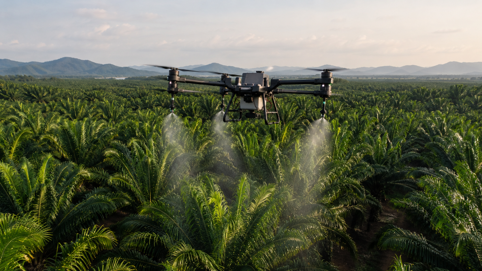
How Much Does an Agricultural Spraying Drone Cost in 2026? Complete Price Guide
Agriculture Drones · Jul 3, 2026
Recommended
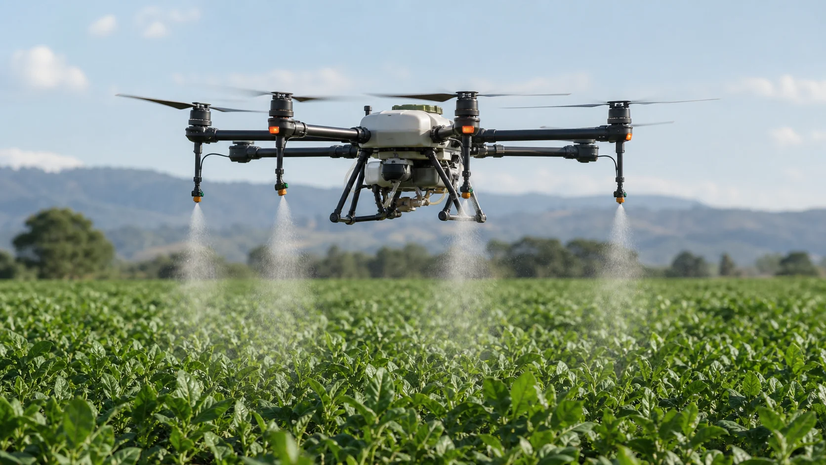
How Agricultural Spraying Drones Work: From Route Planning to Droplet Deposition
Agriculture Drones · Jul 31, 2026
Recommended
Agriculture Drones in China: Technology, Applications and Operating Principles
Agriculture Drones · Jul 31, 2026
Recommended
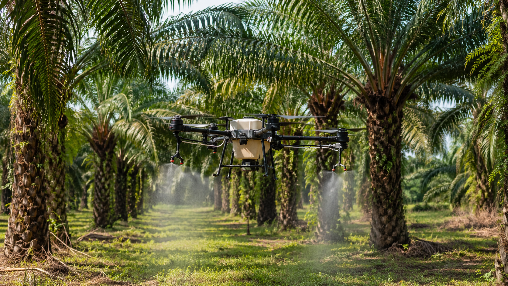
Agriculture Drone Cost per Hectare: Battery, Labor and ROI Calculator
Agriculture Drones · Jul 29, 2026
Recommended
How Many Hectares Can a 50L Agriculture Drone Spray Per Hour?
Agriculture Drones · Jul 29, 2026

Want more industry insights?
Explore drone applications, implementation playbooks, and operational best practices with our editorial team.